A linear, point-to-point walk that’s best done on the train. Most of it is on the North Downs Way going west to east so navigation is straightforward. The final section – from the Chequers pub at Heaverham to Kemsing station – could be tricky especially if you haven’t left enough time to catch the train (no services on Sunday – so an even longer wait then!). Superb views accompany you for much of the way before the route dips down through the picturesque St Clere estate to Heaverham. Allow 4-5 hours including a drink at the Chequers. There is a shortcut option at point 5 to lop two miles off the route without missing out on the pub. Download a pdf of the route
How long from SE London? Train time from Peckham Rye station (to Otford on Thameslink line via Crofton Pk and Bromley South): 45-50 minutes. Don’t buy a ticket to Oxford or Oxted by mistake! THERE IS NO SUNDAY SERVICE FROM KEMSING (but Bank Holiday services do operate).
Start: Otford railway station (Thameslink line to Sevenoaks from Blackfriars via Catford, no trains on Sunday). Please remember to buy tickets to Otford, not Oxted or Oxford!
End: Kemsing railway station (fast hourly Southeastern services back to Bromley South then an easy change back to services for SE London; no services on Sunday)
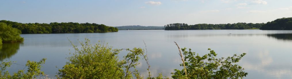
What will I see?: Views across the Vale of Holmesdale to Chevening, Brasted, Sevenoaks, Ightham, the Greensand Ridge and Gover Hill. 17th-century St Clere house and parkland. Lots of chalk downs wildflowers and woodland, wheat fields, Kemsing Down SSSI.
Refreshments: Chequers Inn, Heaverham, just over a mile from end of walk at Kemsing station
Click here for Ordnance Survey GPX map to show live location
View, download and print out PDF of this route here
Directions
Points 1-2: 215m. Leave Otford station (heading north on Station Approach) and after a few metres turn right (heading east) on the A225 (Station Road). Now, turn right at Pilgrim’s Way East. After a few metres take the path opposite, uphill signposted North Downs Way (looks like a private drive)
Point 2-3: 1km. Path enters light woodland and has some steps in it. Seat on left to admire view. After gate is grassy field. Keep on right hand side and pass through trees to a junction of country lanes
Point 3-4: 700m. Continue along lane heading east (Birchin Cross Rd) until you rejoin the North Downs Way on right. Continue east on the North Downs Way. Walk alongside field on your left, past large isolated house to Shorehill Lane
Point 4-5 2km: Turn right on Shorehill Lane then very soon left to continue on North Downs Way now heading south eastwards. The path has short downhill and uphill sections but Ignore paths heading right to the bottom of the hill to stay generally at the top of the escarpment. Follow the signs for North Downs Way at all times. The path passes near Otford Manor and soon a lovely spot with a wooden cross surrounded by wildflowers (ragwort in summer). Soon the path turns sharp left to head north along a field with a very old brick wall that has something to do with Otford Manor to the left. It then turns sharply east again. Follow it all the way until it meets Cotman’s Ash Lane.
Point 5-6 1.7km: At Cotman’s Ash Lane turn left then very soon right to resume the North Downs Way, passing through meadows, woodland and along fields until you hit another country lane: Old Terry’s Lodge Rd. (Short cut option: If you want to cut 45 minutes off the route turn right at Cotman’s Ash Lane and walk on the lane downhill. Continue over the junction with Pilgrim’s Way then take a footpath on the left to bring you to Heaverham and the Chequers Inn.)
Point 6-7 1.2km: At Old Terry’s Lodge Rd turn right then almost immediately left to head straight down the escarpment at a spectacular spot above the St Clere Estate. The path then joins a country lane (Kemsing Rd) that branches off Pilgrim’s Way heading south. Continue down this road for about 300 metres to reach a junction of lanes.
Point 7-8 1km: At the junction turn right and follow the lane/bridlepath through the attractive St Clere estate with the spectacular 17th century house on your right across a field. After descending a shallow hill the late reaches a T-junction.
Point 8-9 1.5km: At the T-junction turn left on to Watery Lane. Stop off at the Chequers Inn with pleasant outdoor area for refreshment, keeping your eye on the time for the train back from Kemsing station (should be called Heaverham station or ‘Nowhere in Particular’ station) because you should leave the pub with at least 30 minutes to spare, unless you fancy walking down hazardous no-pavement Watery Lane to the station (only 15 minutes). For the footpath to the station turn left (south) from the pub then immediately see the footpath sign to your right. Follow the path round the edges of fields – a few metres west then a few south and so on. Soon you’ll be heading straight south and wondering how you will cross the M26 you can hear ahead of you. As you near it, turn right on the path to find a footbridge across the motorway. You can’t miss it.
Path 9-10: 1.1 km The first time we did this bit we got a bit lost and missed the train but there is no need for this to happen to you. Having crossed the motorway follow the path south entering a field with loads of molehills or anthills and long grass (well, it was like that at the time of writing). It’s hard to discern a path at this point so head straight for the railway line beyond on an embankment but note the woods on your right. Enter these woods close to the railway line via a stile and carefully cross the lines themselves to reach Honeypot Lane. Turn left and after 300-400m, voila, Kemsing Station, where, if you’re like me you’ll have to wait an hour for a train because you took too long over your pint at the Chequers!
Enjoy!
Another option for this walk is to retrace your steps from the Chequers Inn and return to Otford to take the train home… a 10-mile walk in total.
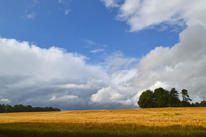
Wheat above Heaverham 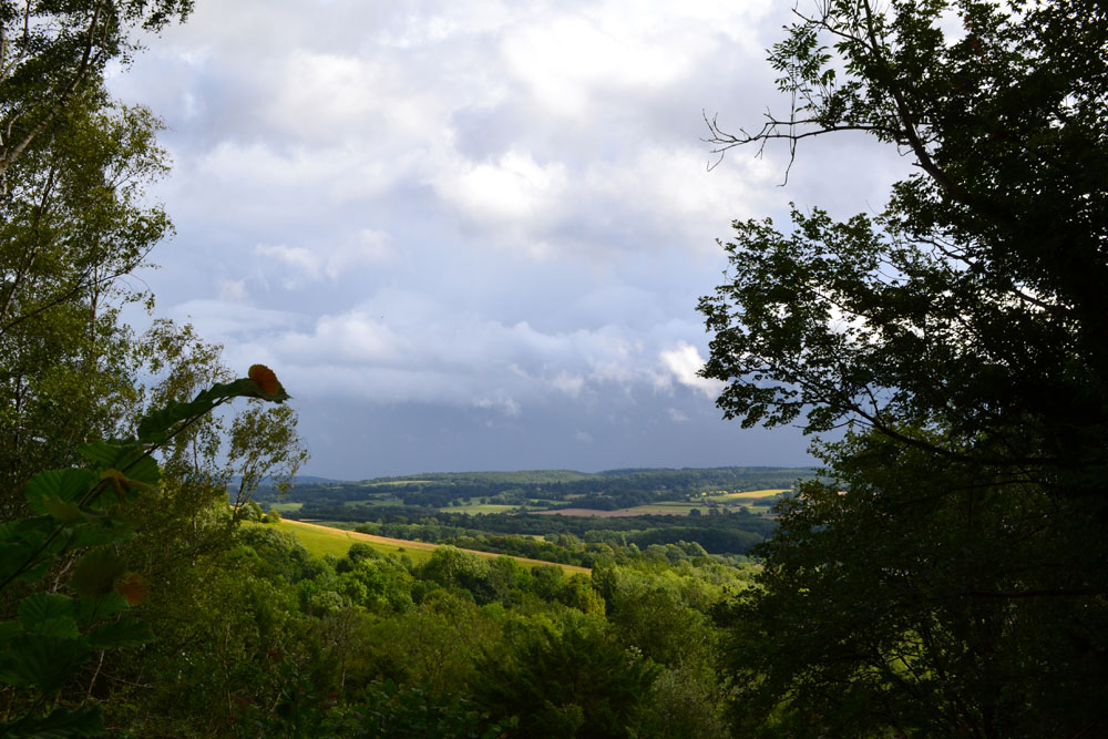
View across to Ightham and Gover Hill from North Downs Way near Kemsing 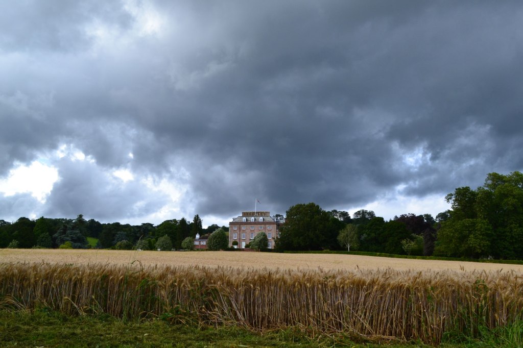
St Clere estate house 
View from North Downs Way near Kemsing 
View above Kemsing. Ragwort in foreground and a grave or commemorative cross in centre of picture 
Wheat and storm clouds near Heaverham 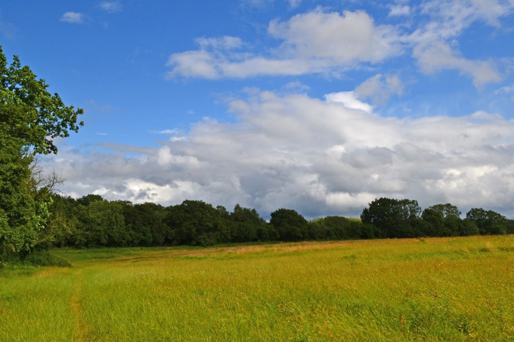
Meadow on North Downs escarpment
