Lovely views from the North Downs chalk escarpment, a stroll through pastures in the Vale of Holmesdale. An ancient village and a nice pub (or two). What’s not to like? Possible as a train walk (Kemsing station is only open Mon-Sat) but car-only on Sunday. This route covers some of the same ground as the linear Walk 27. Navigation is straightforward. Allow 2 hours for walk.
How long from SE London? Car: to Heaverham or Kemsing 50 mins from SE London. Train: Kemsing is on the line to Maidstone from London Victoria via Bromley South, Swanley and Otford. Train time from Peckham Rye station (on Thameslink line via Crofton Pk and change at Bromley South or Otford): 45-50 minutes. THERE IS NO SUNDAY TRAIN SERVICE TO/FROM KEMSING (but Bank Holiday services do operate).
Start: You have a choice: Chequers Inn pub car park, Heaverham (as long as you buy a drink/food at some point); Kemsing village car park; or Kemsing railway station (Mon-Sat).
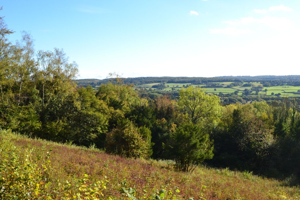
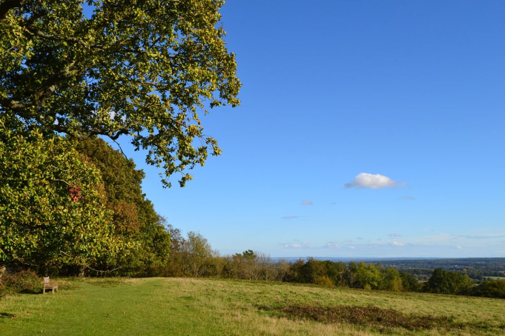
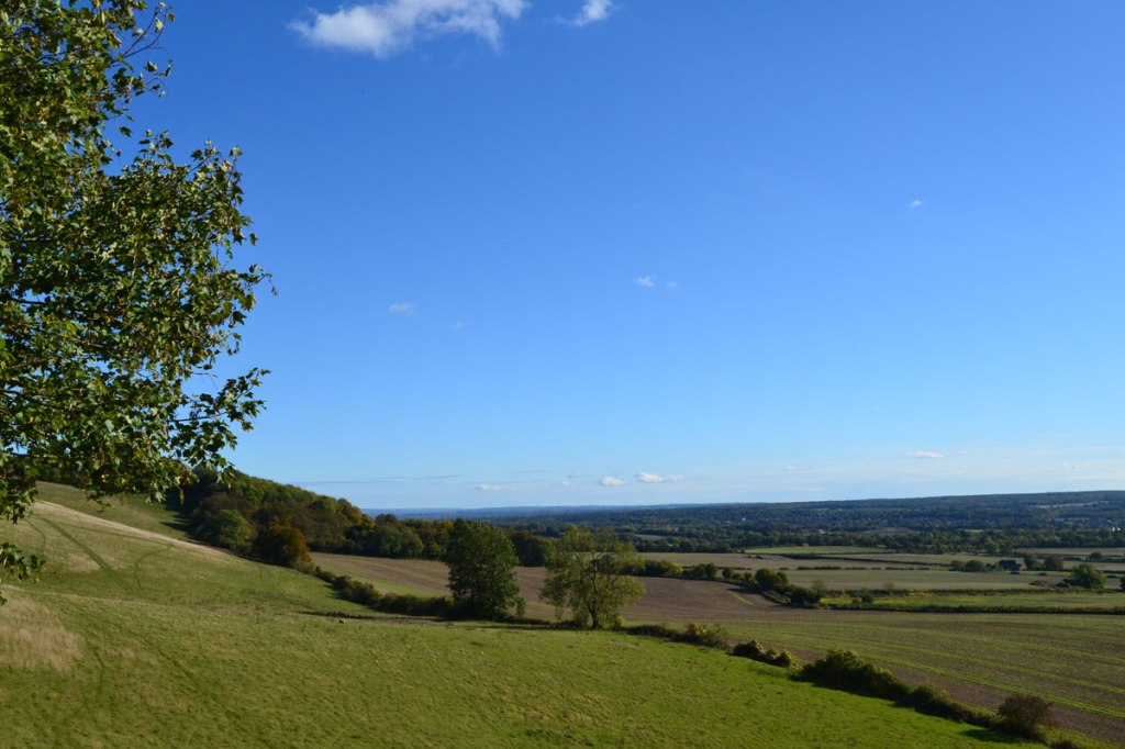
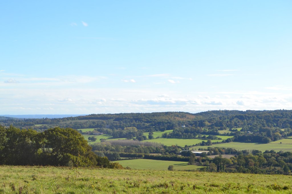
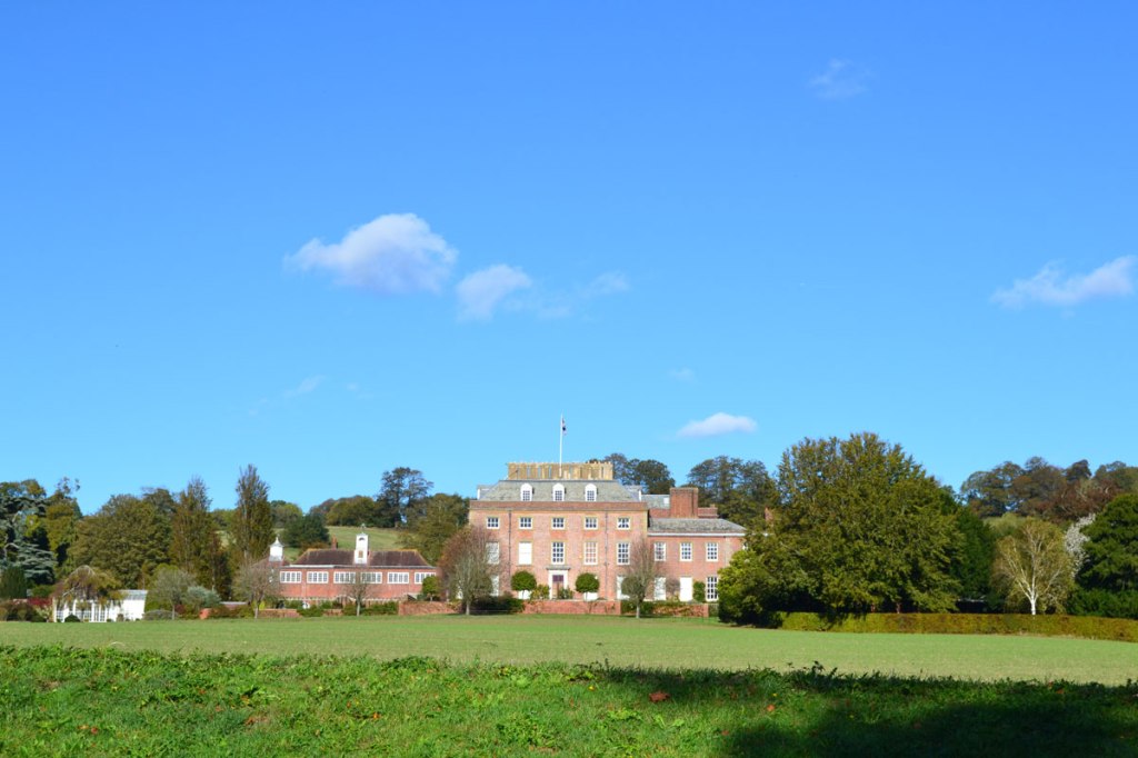
What will I see?: Views across the Vale of Holmesdale to the Greensand Ridge. A view of Oldbury Iron Age fort. 17th-century St Clere house and parkland. Lots of chalk downs wildflowers and woodland, wheat fields, Kemsing Down SSSI.
Refreshments: The Bell, Kemsing; Chequers Inn, Heaverham; AM Italian Cafe/Deli, Kemsing
Use the OS map (GPX showing real time location)
Download a PDF of this route to print out or keep on your phone
Directions
Use the OS map (GPX showing real time location)
Starting at The Chequers Inn car park (buy drink/food there to park), Heaverham
Points 1-2: 700m. Leave car park, turn right, then right again to head east on tarmac lane (Kemsing Rd) across the St Clere Estate. Pass the mansion on your left then after a few minutes take the next lane on the left (north) uphill at Point 2.
Point 2-3: 800m. Head north then cross Pilgrim‘s Way and continue on a footpath steeply up the chalk downs escarpment to Old Terry’s Lodge Rd. Turn right then immediately left to join North Downs Way footpath.
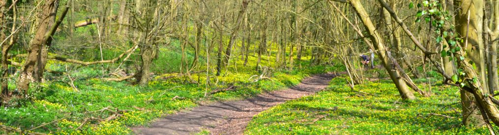
Point 3-4: 1.5km. Continue heading west along top of scarp passing fields and through woodland until you reach Cotman’s Ash Lane.
Point 4-5 1.8km: At Cotman’s Ash Lane turn left then, after a few metres, right, to resume on North Downs Way footpath heading west. At one point, nearing the Kemsing Panorama shown on the Google map, the path turns left out into grassland with a glorious view. Soon, as you reach Kemsing Down there will be a clear path downhill, just don’t be fooled by the ‘dummy’ path just before it!
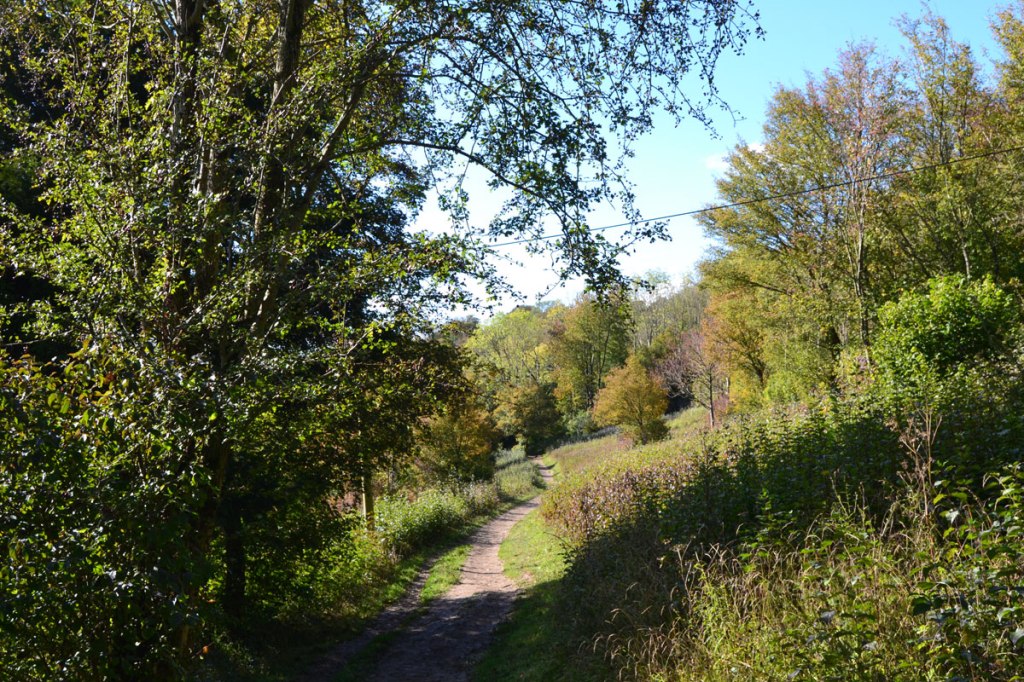
Point 5-6 750m: Head down (south) Kemsing Down on the clear path (don’t worry too much about missing it, there are other paths descending through this beautiful SSSI further on), cross the Pilgrim’s Way road then through the heart of Kemsing village, where there is the pub (The Bell) and Italian cafe/deli. Here you reach W End rd which becomes High St.
Point 6-7 450m: Head east on W End/High St then take the footpath heading south about 130 metres past The Bell. This is now on the clay of the Vale of Holmesdale so likely to be fairly sodden in winter.
Point 7-8 1km: Follow the path south then east as it nears the M26 (heard but not really seen). The path reaches a footbridge that crosses the motorway. This is where those starting the walk from Kemsing Station will join the main route – bid them fair greetings!
Point 8-the End at the Chequers Inn, 1km: the path now heads north east on the edge of large fields, occasionally zig zagging a bit. You end up in an alley bringing on you out onto Watery Lane nearly opposite the Chequers (just to the left).
Starting from Kemsing village car park
Follow the walk from Point 6 (so Point 6=point 1 – do the math, as you saunter round the route)
Starting the route from Kemsing Station
Leave the station, turn up Honey Pot Lane to the right, cross the pedestrian railway crossing and head north, then cross the M26 on the footbridge. The map above shows it pretty well. All very exciting. This brings you to Point 8. Or you can just leave the station and walk up Watery Lane to the Chequers and start from there, but that road has no pavement.