Deciding to do a half-remembered walk without map or instructions I set off from Westerham to Chartwell on a 4.5-mile circular route taking in French Street hamlet. Of course I got lost. These woods (Tower wood, Hosey Common) are pretty full-on and some of the paths they contain draw you in only to spit you out into a ditch or thicket with no choice but to retrace your steps. Still, I stumbled across Chartwell eventually but saw nothing of French St. Being Remembrance Sunday it seemed a good choice; but then I remembered that Churchill hadn’t stayed there much during the war, having been withdrawn to Chequers – far away from possible commando raids. It’s not a particularly amazing house but it’s hard to think of one in the south of England with as much significance and in such a brilliant setting.

Looking back towards Westerham and the North Downs ridge, 11 November 2017
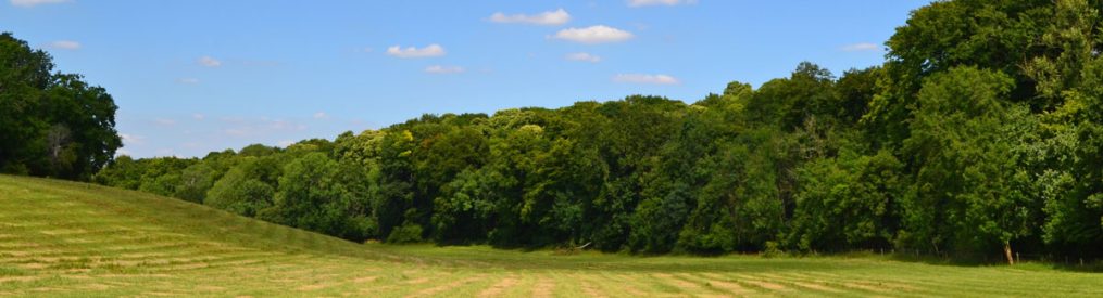
The path up on Mariners Hill gives a great view over Winston’s house and into the Weald beyond to the Ashdown Forest. There are also some fantastic sequoia-type trees (giant firs?) to admire. I took a trail back in the direction of Westerham in the twilight; another false path that delivered me without fanfare right on to the dangerous B2026, which hairpins around the greensand ridge on its way to Edenbridge. As I hugged the verge, most cars slowed and gave me a wide berth – and I thank them, but not Mr Audi Q5; he sped around the bend oblivious to the possibility of a vehicle coming the other way and me, a pedestrian, plodding along on the verge. He nearly ran me down. I gestured; he beeped. A prime SUV numpty – a person wrapped up in their own importance I thought.

Chartwell from Mariners Hill
By now it was the gloaming time and I spotted another path on the left leading down through woods into a valley. What a joy this was: a carpet of red leaves and glimmering water to my left. I later found out this was the infant River Darent. A gorgeous path. I’ll have to incorporate it into a walk soon.

Weald view from Mariners Hill, Kent
