It’s good to avoid using the car when possible – the traffic at the moment heading out of town seems pretty bad – so I’m hoping that when I add new routes there are viable public transport options.
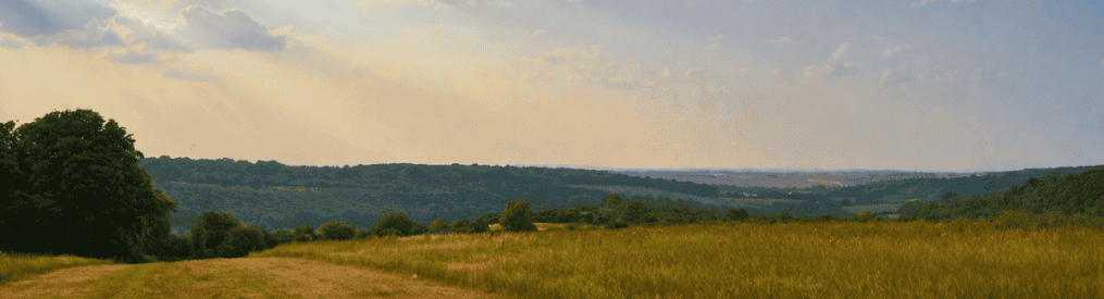
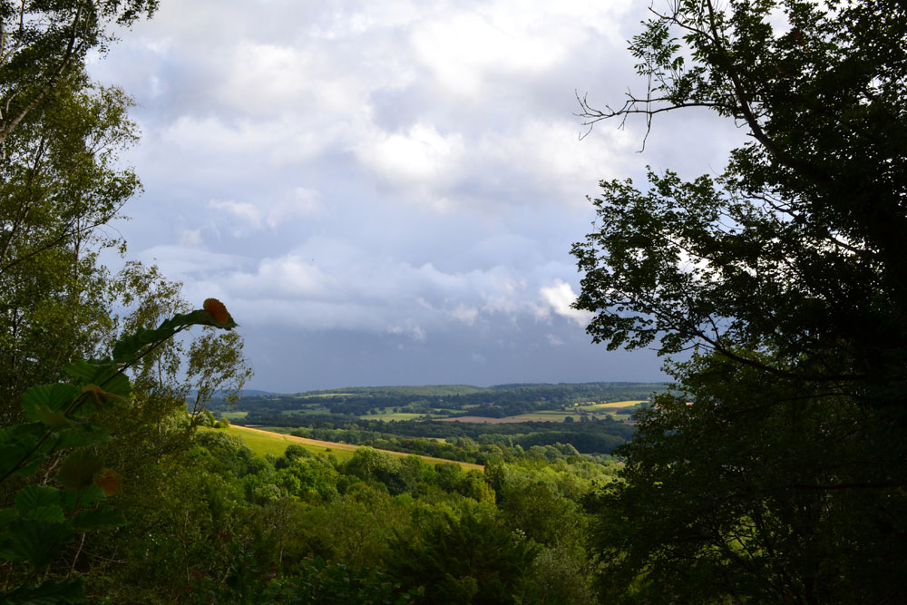
That’s certainly the case with the 6.5 mile Otford Station to Kemsing station route, which is mostly on the North Downs Way on the crest of the chalk escarpment. It’s easy to navigate, being well signed all the way from Otford, then descends the downs at the St Clere estate, Heaverham. (Read full directions here.)
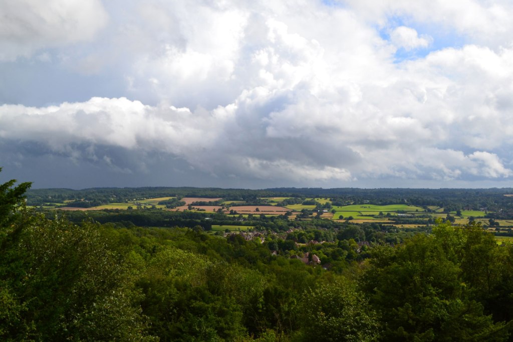
At Heaverham hamlet you emerge close to the super Chequers Inn. There’s still a good mile walk to the eccentrically positioned Kemsing station though on some quite indistinct footpaths through pastures. You have to cross over the M26 on a bridge (making navigation a bit easier) then cross the railway line 200 metres west of Kemsing station at a foot crossing hidden in woods (making navigation a bit more difficult!).
Now, here’s the twist; trains back to SE London from Kemsing are infrequent (usually once an hour, with an easy short change at Bromley South) but they are fast. So timing the inevitable beverage at the Chequers can be tricky. If you overcook it, then it’s a 15-minute walk straight down Watery Lane (no pavement so frankly dangerous) to the station. But allow 30 minutes at least for the far more attractive footpath route. If in doubt, just stay for another drink and take your time.


Thanks to Steve for getting me out to walk much of this route recently (and telling me about the friendly pub), and thanks to Will for agreeing to join me on a chaotic romp through the molehills and long grass of the last mile as I attempted to ‘pioneer a route’ on vague footpaths to Kemsing station in a doomed attempt to catch the 17.50.
Find directions for the walk here. In the meantime, if you are confident enough to give it a go without a description, here’s a GPX map, but I’d recommend taking an OS Map. I haven’t been able to embed a Google map for the walk thanks to WordPress’s new restrictive new rules. I’ll do a PDF soon.
For that last awkward bit, cross the M26 by a footbridge (easy to find) then head across a grassy, lumpy field aiming for a stile leading into woods close to the railway line. Immediately after climbing over the wonky stile you will see the foot crossing over the railway lines themselves. Cross then turn left along lovely Honeypot Lane to walk 200 metres to Kemsing station, which is opposite (wait for it) the Chaucer industrial estate.
