

Click here for full directions for Walk 29 at KWNL.
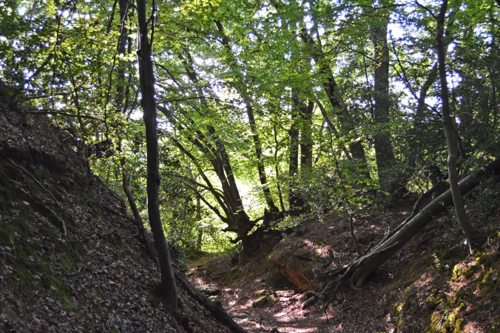
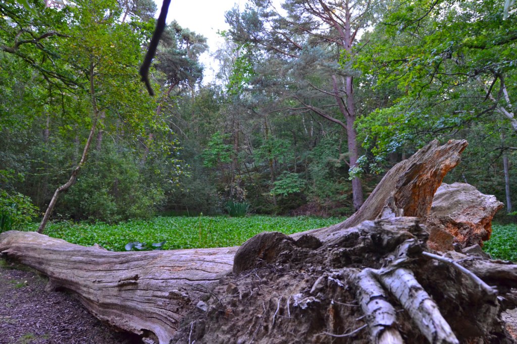
This is a shorter version of a really great woodland autumnal route. The Oldbury walk comes in at around seven miles once you wander around a bit. That may be a bit offputting for some, who prefer a 90-minute-2-hour stroll, no more, no less. So click here for a clipped version (Ordnance Survey GPX map). On this shorter 4.2-mile version you miss out on Ightham Mote and its secret valley but other walks on this site include these superb spots, such as the two One Tree HIll walks (walk 6 and 7). So, starting in the Styants Bottom Rd car park the new walk sets off east and around the Iron Age Fort of Oldbury Hill. On the fort’s northern side there are great views to Kemsing Down and the St Clere estate at Heaverham if you walk along the field edge. Then it’s back into the woods, crossing the A25 at Crown Point and walking up towards St Lawrence church above Stone Street. Just before reaching the church turn sharp left and follow the path along a cliff edge set back from the main greensand ridge before turning left down giant steps and following the sand path north through mysterious Fishpond Wood back to the A25 then on to the car park.


I’ve added some waypoints to the GPX map mentioned above to help you navigate. Some have labels (church, for example) others have Ordnance Survey grid references (TQ 5764 5613 etc) to help you pinpoint location on your smarphone (if you have one). I recommend using the GPX map because being mostly in woods it’s hard, otherwise, to know what path you’re on; however, walking around a bloody great lump in the form of south-east England’s largest iron age fort should help! Here’s the NT page, and here’s more about the history of the place here.
There’s also a Google map of the route here, but this isn’t GPX so not as useful.

One more thing about this walk: it’s a bit spooky. The woods, the ancient fort, the hidden cliff, the mysterious ponds in the woods. It’s … atmospheric let’s say.
