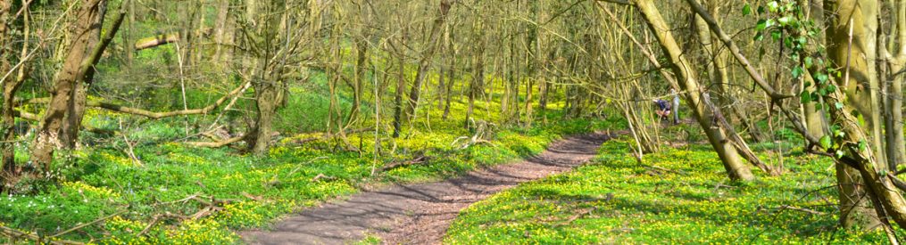
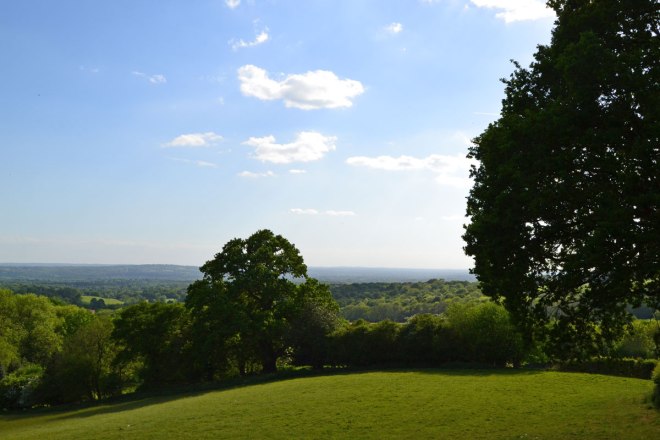
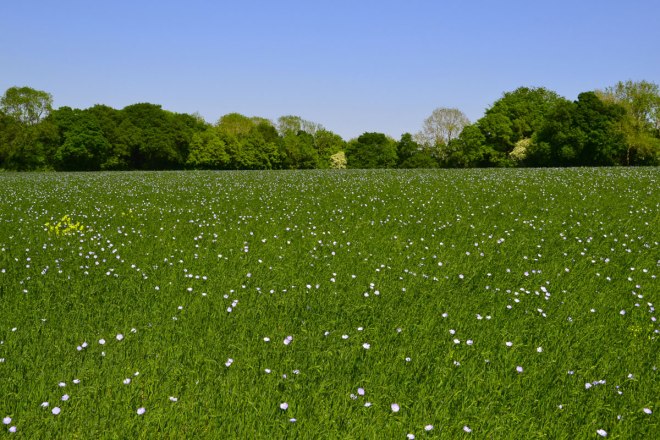
It’s a great time of year for walking, as the visitor figures at Kent Walks Near London are showing. Wildflowers, birdsong, the sound of the breeze in the foliage, dry conditions and warmth are all balm for the soul – and how needed in these perplexing times.
It’s been great to bump into walkers using the website lately; generally all have been on the correct route and enjoying themselves! Only one couple were off piste, and this was because they had been following Bromley council’s signs for the Cudham circular rather than read the pdf they were holding of the Cudham Chalk Paths walk.
A smartphone can help
It’s been mentioned to me lately that it is still quite easy to take the wrong path at times. I really recommend using the GPX on the smartphone with takes you to my routes at Ordnance Survey or AllTrails. Here’s my Fackenden Down route at Ordnance Survey maps (actually done in reverse, but it doesn’t matter as the dot will show you where you are against the route whichever way round you’re doing the walk). If it all sounds a bit technical and you don’t want to be marching around peering at your phone, don’t worry – just take your time and read the instructions ahead so you’re not stopping every time there’s a side path and wondering if you should go down it. And if it does go wrong, enjoy that too… the countryside will still be lovely and all will come right in the end. It’s Kent, not the Amazon.
A lot of KWNL users print off the PDF and go from there, but be warned: the PDFs are space-limited so I have to abbreviate at times. I think it’s best to use a combination of GPX map, the website on your phone and the pdf or just use a paper OS map just to check out the route in advance. Perhaps one day I’ll invent a special talking SatNav for KWNL so I can say ‘turn right, climb over the stile’ in real time. Actually, no; who wants that?
Contact me with route complications/updates
I really would appreciate people telling me when I need to update information, however. I can’t cover all the walks all the time so when things change – as they did on the Downe and Cudham walks in the past couple of years – it’d be great to get a heads up! Also, please send in bird/wildlife or plant observations… all welcome.
My best email is ammcculloch49@gmail.com for comms. I don’t bother with Facebook or Instagram much anymore (maybe I should try harder with the latter) – there’s just too much of all that and I consider social media to be run by awful people determined to do bad things generally. I deleted Twitter and I’m now on Bluesky if that’s any good to anyone (amackentwalks.bsky.social) but please excuse any tangential rantings you come across – I have other interests apart from walking (saxophone, Tottenham Hotspur etc) so it all ends up in one place.
