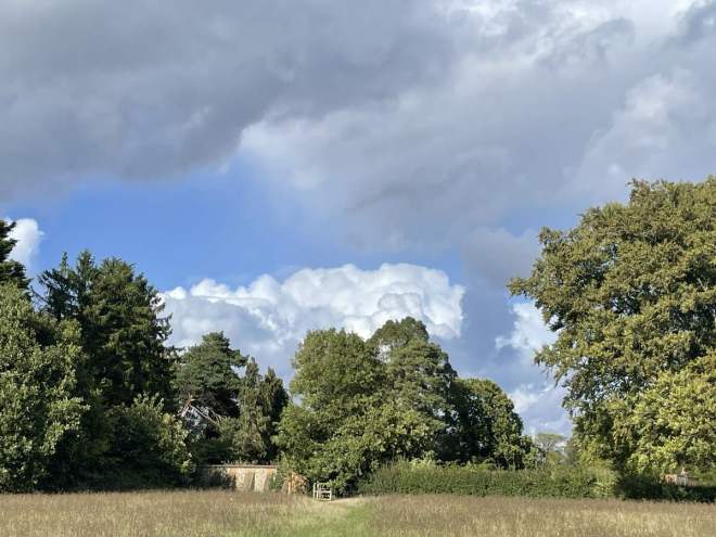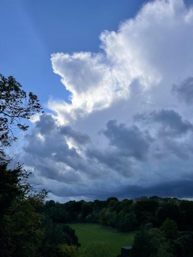

Conditions for Kent Walks near London this weekend have been ideal. The countryside looks amazing, all dressed in a cobalt carpet of bluebells. Meanwhile, wild garlic is beginning to bloom along with primrose, stitchwort, cuckoo flower and campion adding further brilliance to the colour palette. On the One Tree Hill figure of eight yesterday the scenery was sensational, and the hues of green, blue and white, dazzling. Birdsong was vibrant – goldcrest, nuthatch, blackcaps, whitethroats, ravens were all heard along with the more regular chiffchaffs, robins, song thrushes, wrens and blackbirds. No finches though, which was weird.
It was great to see so many people out on the walks yesterday; particularly groups of young people, many of whom were using this website (I took a sneaky peek at the pdfs being held). I absolutely love to see that.
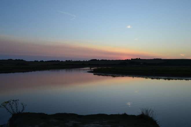
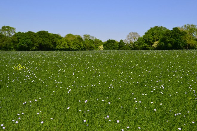
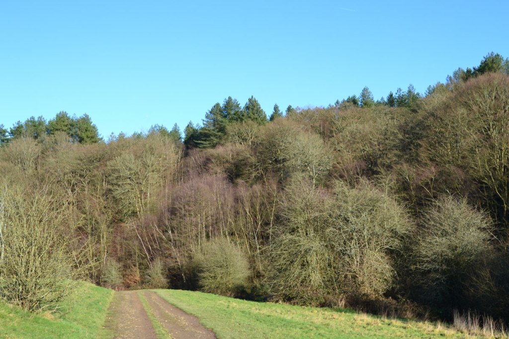
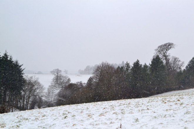
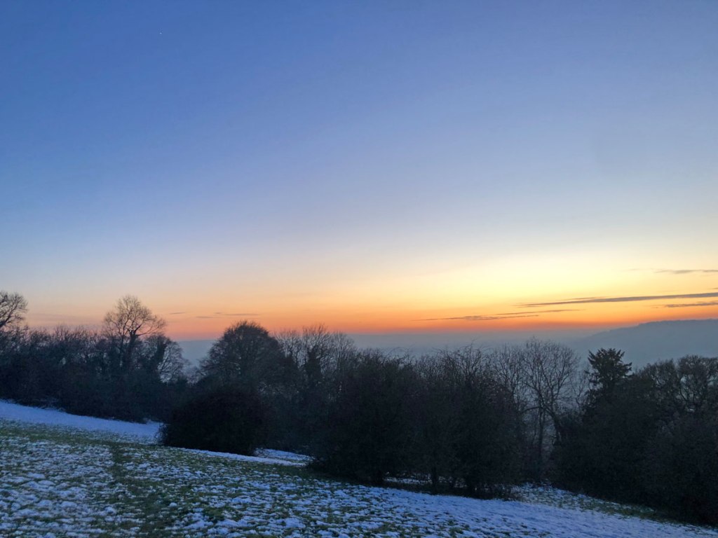
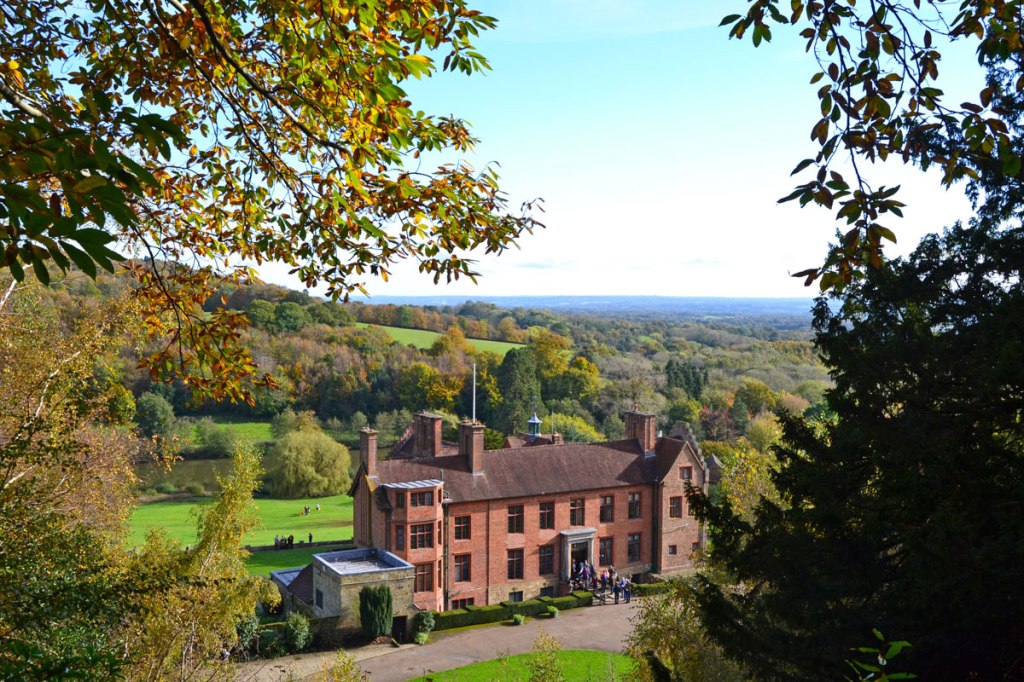
I’m collecting evidence for my annual bluebells of the year competition, a far from complete and completely absurd awards process. But at least there won’t be bow ties, chortling chumps, cheesy speeches and mercenary celebrity hosts at the ceremony. Well, there won’t be a ceremony at all! Pictured below are some of the contenders along with some images from yesterday’s strolling. The results will be announced this week.
Once again, apologies for lack of newsletter – I have done none at all this year. Time has been the biggest problem, but also the service provider has moved the goalposts and now wants too much money. I will have to find a solution because I have more than 1,000 subscribers. But when?
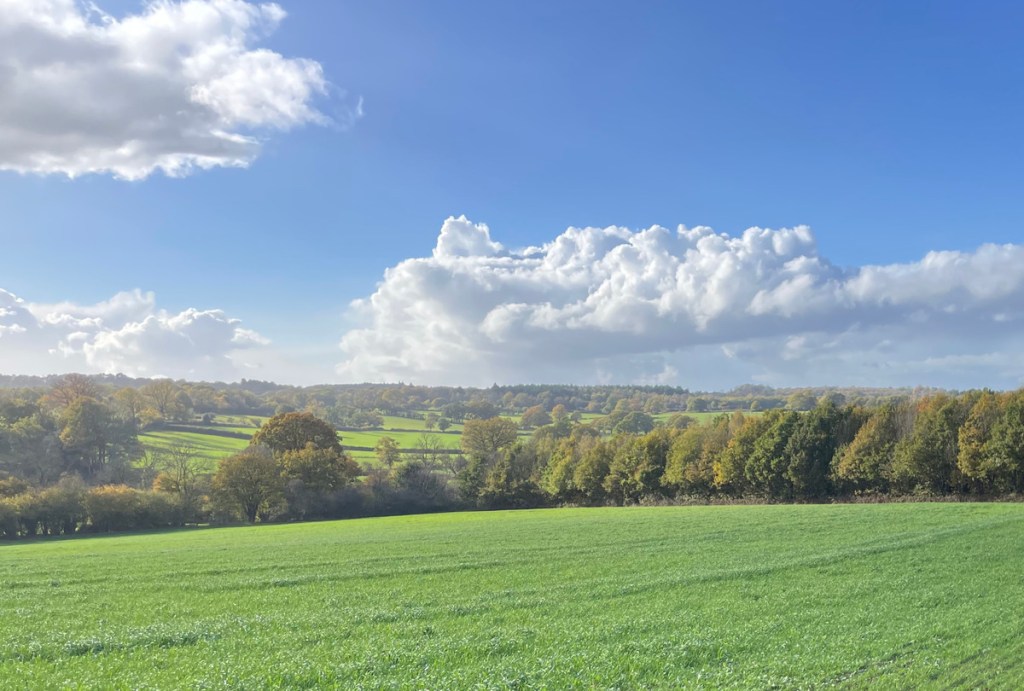
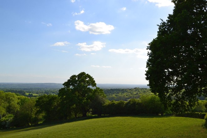
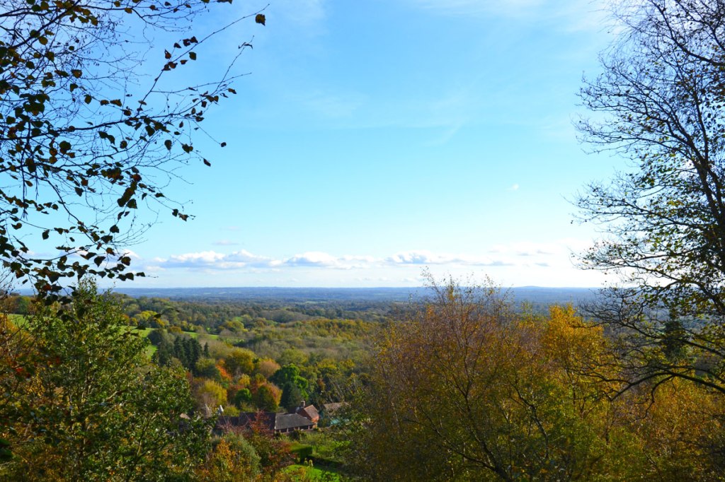
Wilmots Hill view on the One Tree Hill figure of eight walk. Looking towards Ashdown Forest 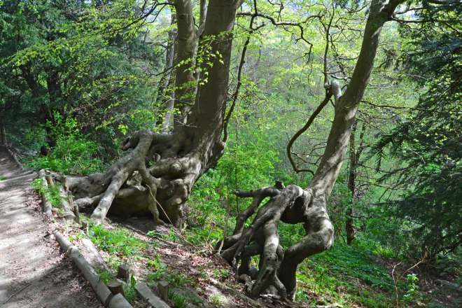
Beech trees growing out the Greensand Ridge, Wilmots Hill, on on the One Tree Hill figure of eight 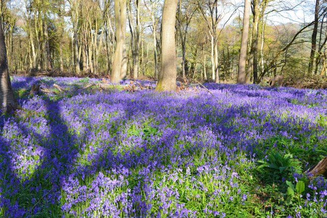
Meenfield Wood, April 2026 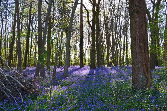
Home Wood, Lullingstone country park 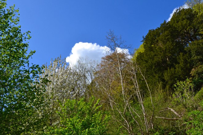
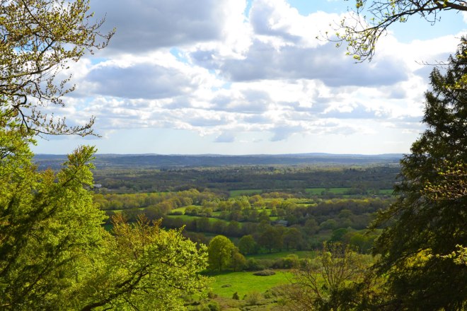
Foliage and cloud under the greensand escarpment on the One Tree Hill walk 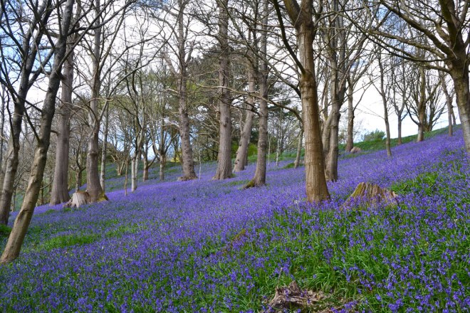
Emmetts bluebells April 2026 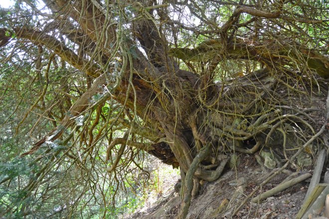
Centuries old yew tree growing out of the Greensand Ridge at Wilmots Hill, Sevenoaks 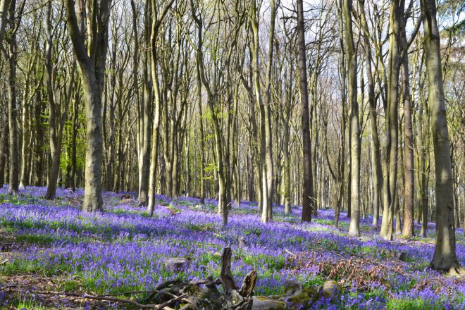
Andrews Wood bluebells April 2026 on the Polhill walk 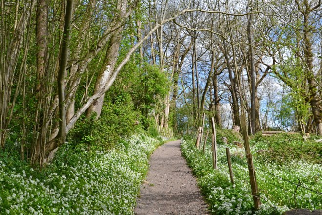
Wild garlic alongside the One Tree Hill path at Rooks Hill, Sevenoaks 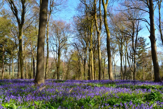
Meenfield Woods bluebells, April 2026