These parched lands

These parched lands

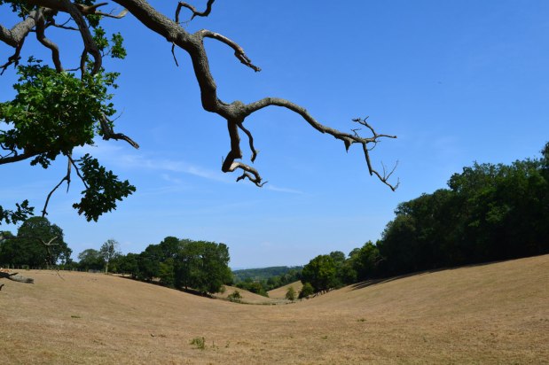
As I write there is a hint of rain in the forecast. The Met Office has the ‘odds’ at 30%, yet the sun is once again blazing on this delightful Monday morning. I say delightful but of course many of us feel a bit torn about the whole thing. I love being able to nip down to Camber Sands or Hastings whenever I can, in the knowledge the weather will be great, but unlike the smarmy opinion writers in the Telegraph or Times, you can’t help but be extremely worried about the unpredictability of British weather in the age of global warming. Flooding is quite likely to follow drought and the effects of it all won’t just be felt on food prices and farmers’ livelihoods (as if that wasn’t enough) but on our houses, gardens, trees, wildlife. You know all this.

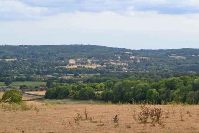
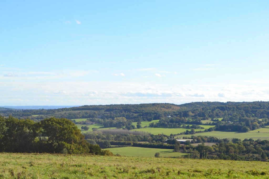
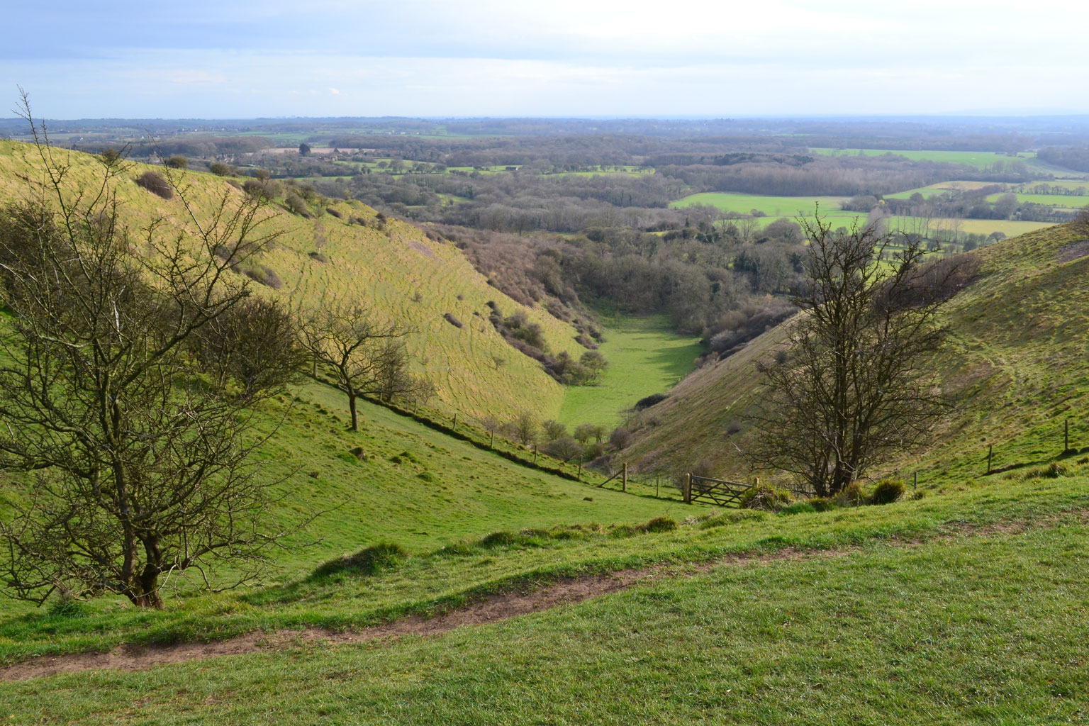
  • from the North Downs escarpment near Brasted
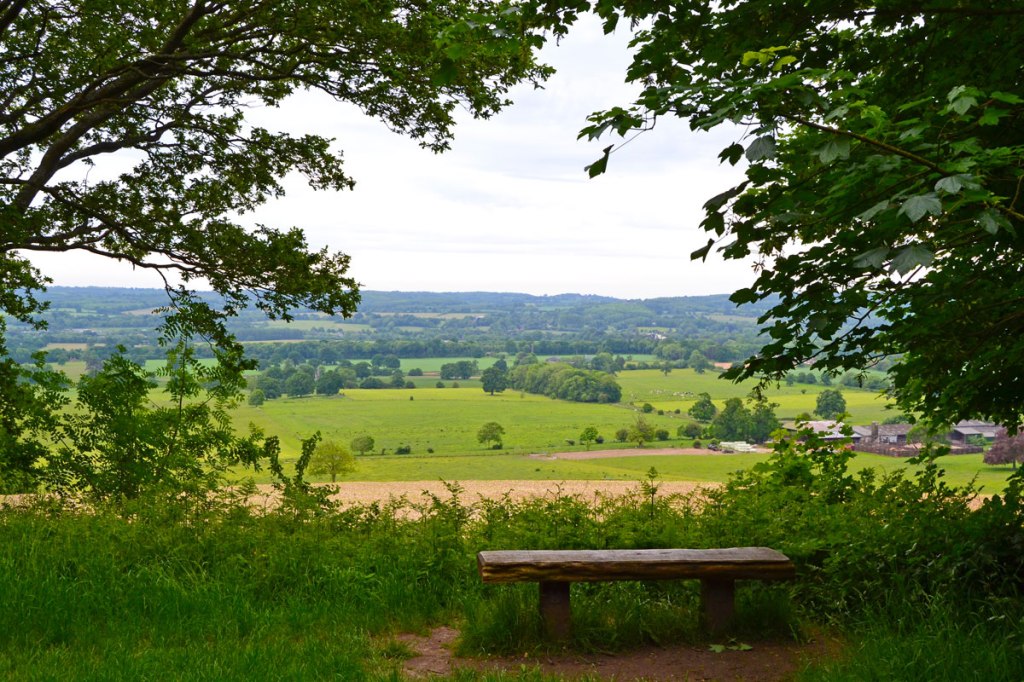
  • Farmhouse near Knockholt
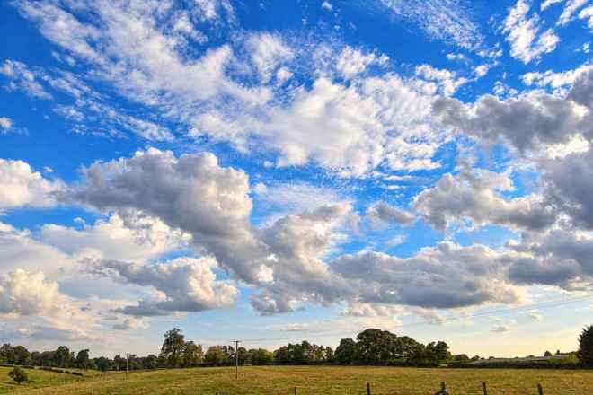
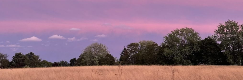
  • Cudham countryside big sky

As for Kent walks, I like the usual late August ‘tiredness’ in the countryside, the quiet, the drowsy beer-thirsty wasps and the sense of being on the cusp of change (swallows gathering their forces to head to Africa etc). But this year the aridity, the colours, the mood has hugely exaggerated that normal late August vibe. On yesterday’s cycle from Downe to Knockholt and back via Green St Green and Cudham the sombre browns, dustiness and silence were at times wonderful, at others dispiriting. I supposed it depended whether I was going downhill or not.

I’ve taken to my bike with friends and family for North Downs rides of late, creating our own breeze is rather refreshing, and put actual walking a bit on the backburner (I quite often walk alone but lately I’ve preferred company – which isn’t always available). A ride from Sevenoaks to Penshurst via Tonbridge was particularly pleasurable. But yesterday, on the escarpment, the humidity felt suffocating in the unusually cloudy conditions. After a pint of Harvey’s at that excellent boozer the Three Horseshoes in Knockholt the remainder of the ride back to Downe passed in a blur of sweat and haziness. Should have drunk more water, deffo.

Nightjars in the Ashdown Forest

A memorable outing this weekend was to the Eastbourne air display. When the tide is in the stony beaches they are excellent for a swim, with the added frisson of aerobatics by Spitfires and so on. There are some good cafes amid the glorious Victorian white stucco in the side streets too. For a free event that attracts thousands, it really does work well because there is lots of space in the town and plenty of beachfront. And just a short walk to the west is spectacular Beachy Head and beyond that, the Seven Sisters, which in the late afternoon light are utterly magical. After a delightful pint at the Tiger Inn in East Dean, just up from Birling Gap, we set off for home via the Ashdown Forest.

At Gill’s Lap (Galleon’s Lap in Winnie the Poo), one of the highest points of the heath, we parked up and took a stroll among the heather and pine clumps, visiting the Heffalump trap, Kanga’s sandy pit and the Enchanted Wood (yes, they are real places – and just to the east is Eeyore’s Gloomy Place I kid you not). In the twilight the surrounding landscape and huge views turned pink and purple; it really did feel enchanted. As we headed back to the car we were suddenly surrounded by elegant, long-winged birds of a kind I had never seen before. I knew right away they were nightjars. There were four or five of these nocturnal creatures, gliding and side-slipping so beautifully in the dusk but totally invisible after they landed in the heather. My son managed to get video footage (see below).

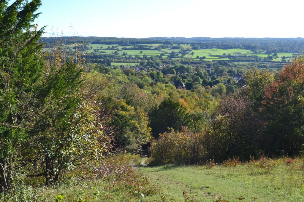
New route: Heaverham/Kemsing circular

New route: Heaverham/Kemsing circular

This route, no 28, is similar to walk 27, but is better for people walking on Sundays, when there is no train service. You can start it from the lovely Chequers Inn, Heaverham (if you buy a drink/meal); Kemsing village car park; or Mon-Sat from Kemsing station. Rather like the Chevening/Knockholt walk it’s another chalk escarpment route that drops down into the Vale of Holmesdale, and uses short stretches of the North Downs Way. The link below includes the usual Google map and the more useful OS map, plus written directions. PDF to download will follow in a few days!

Click here for full description and maps

Give Chevening a chance

Give Chevening a chance

Of all the walks on this site the one I’ve done the least is probably the Knockholt/Chevening circuit. I’ve not always been wildly effusive about it, even describing the early stages as dull. I was completely wrong it turns out. I strolled the route today and found it superb. The fields on the right of the North Downs Way in the early stages have been left fallow and look to be in a pretty advanced stage of rewilding – the flora is high enough to hide the odd lynx! As I hit Sundridge Hill the instantly recognisable and repetitive song of the yellowhammer burst from the hedgerows like some sort of alien morse code. A huge buzzard (what are they feeding them around here?) eyed me up from above. The views over Chevening House towards Ide Hill were delightful as I cleared the scarp face woodland. Chevening hamlet was as spooky as ever and the following climb back to Knockholt took in a broad vista of the Vale of Holmesdale under a moody sky with plenty of butterflies and wildflowers to admire. A red kite skidded and yawed above in the thermals and I startled a pair of greater spotted woodpeckers which suddenly took off from a fallen tree trunk a couple of metres ahead of me. I think my previous aversion to this walk was to do with the “private” signs around Chevening House, its association with some deeply unpleasant national figures, and the slightly creepy feel of the hamlet – it’s just so quiet, but it’s me, it’s not them – the road noise between points 4 and 5, and having to walk on the road for 100 metres by the farm at point 5. The truth is, there are great views, loads of wildflowers, wonderful trees and nothing much not to like.

As quite often happens in these parts the camera doesn’t capture the walk; slopes are flattened out so the scenery looks blander than it really is.

Cities of mauve spires

This slideshow requires JavaScript.

Rosebay willowherb is now in full bloom in glades, on verges, and by railway tracks throughout Kent. One of the factors causing the plant to spread so much in the past 70 odd years was the second world war when clearings were made in woods, aerodromes were built all over the south east and bombs were dropped across the region. Why this should be I don’t know… anyway honey bees love ’em and when you see clusters it’s quite a spectacular sight. One such spectacle is in the clearing in the woods at the top of One Tree HillKeep quiet here and just listen to the hum of the bees. On Sunday we did the ‘hidden valley’ walk from One Tree Hill; I haven’t put it on this site yet, but will do. The walk ends up as another Ightam Mote circular but takes in a fabulous secluded valley behind Wilmots Hill which brings you out at the Mote after passing somewhat sinister-looking accommodation for early 20th century hop pickers. I’ll write up the walk soon… can’t believe I haven’t done it before.

This slideshow requires JavaScript.

Deeper into Kent – Wye circular walk

Devil's Kneading Trough

Devil’s Kneading Trough, North Downs Way, near Wye

Here’s another walk accessible by rail but this time a lot further out of town. We (one of my sons and I) really enjoyed this one although one section through farmland wasn’t the most exciting. Wye is a pretty enough village by the Stour river four miles north of Ashford, and 11 miles south of Canterbury. This walk – called Wye Downs –  doesn’t require a car; you can join it from the railway station by crossing the river and heading a quarter of a mile or so up Bridge St until you hit picturesque Church St on your left. Then make for the 12th-century church and you’ll see the path as it passes through the graveyard diagonally, becoming part of the North Downs Way, and heading up on to the escarpment that we’re all so familiar with from the walks on this site – perhaps over-familiar!

The view from the ridge extends out to Dungeness and the South Downs beyond Hastings and there’s a great little mini-Devil’s Dyke up there called, slightly less succinctly, the Devil’s Kneading Trough. We watched a huge buzzard evading the attentions of a pair of rooks and with the breeze in our faces it felt like somewhere much further away and higher. After the four-mile walk we went up to Chilham, a beautiful medieval village nearer Canterbury.

The train down to Wye is a bit laborious, taking about 80 minutes from Bromley South or Orpington. Services run from Victoria and Charing Cross (some via Bromley South, others Orpington and Sevenoaks) on the Ramsgate, Canterbury West, Ashford line.