Chalk in an early spring walk

Chalk in an early spring walk

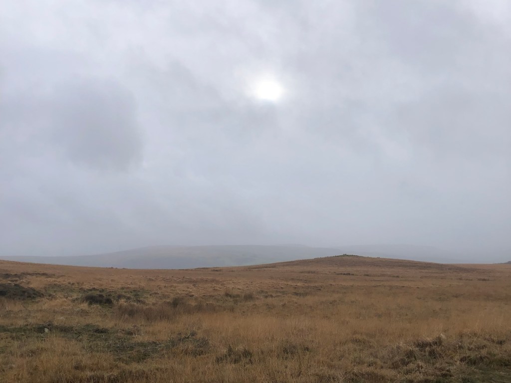
After such a rainy winter it’s likely this weekend will see a mass exodus to our Kent footpaths, some of which have taken on a rather liquid quality in recent weeks. Sunday looks as if it’ll be the better of the two days but Saturday will be dry and mild – maybe the better bet if you want a bit of peace and quiet.

I recommend to bide your time… wait until things have dried out a bit, especially if you are thinking of a Greensand Ridge walk around Sevenoaks or Westerham. I’m no expert but the soil and geology of the walks on the sandstone and on the clay of the Weald tend to get very boggy at this time of year; the soils are thicker and water sits a lot more. Add into that the popularity of One Tree Hill, for example, and you find churned up paths and impassable stretches without detours into the brambles.

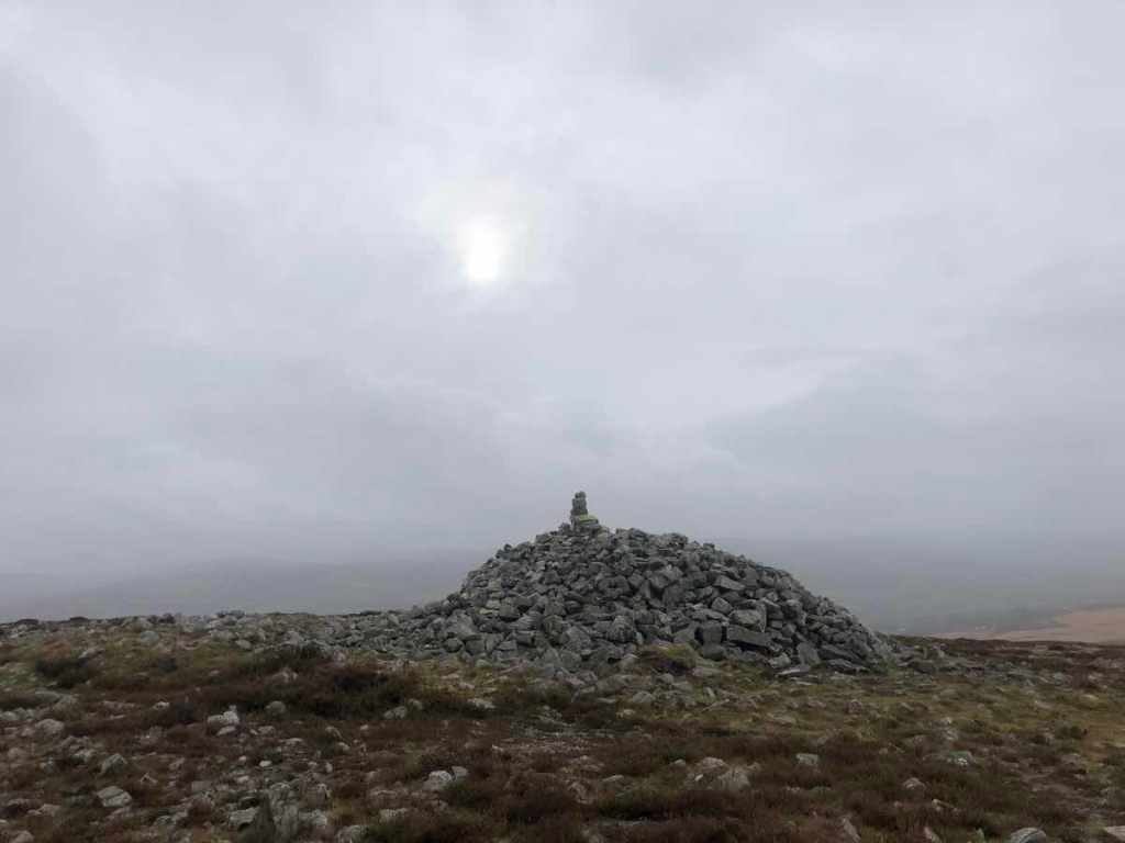
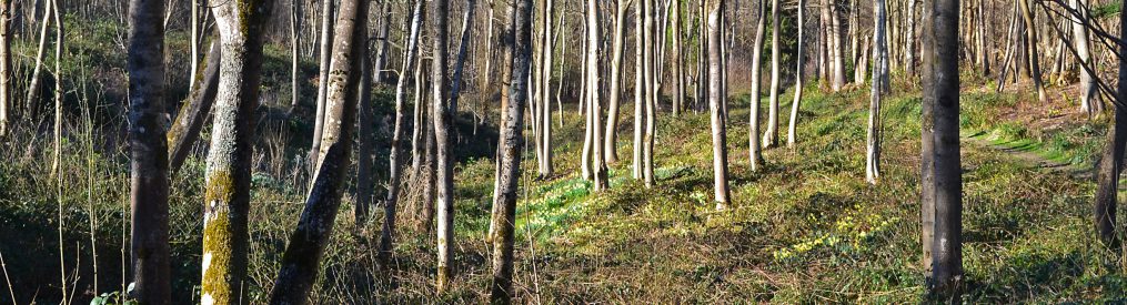
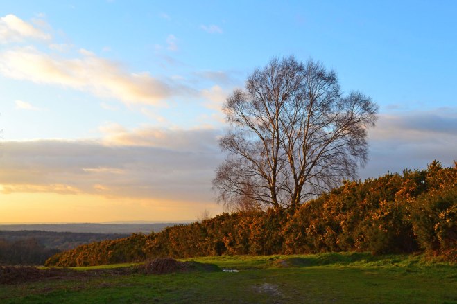
However, up on the chalk hills the surface water drains away pretty well through the thin soil into the porous chalk – generally speaking that is. Downe has got very squelchy despite having a chalk foundation. This is partly because of the silly fenced in path around the initial fields and the farming-induced quagmire at the end of the final field by the bus stop as you come back into the village. I’ve gone off it a bit out of season I’ve got to say.

  • Flooded woods, Bough Beech
  • Bough Beech nature reserve
  • View from Fackenden Down
  • Gills Lap, Ashdown Forest

If you’re in doubt which kind of walk is which, the chalk walks are numbers 2, 3, 5, 12, 14, 16, 18, 19, 23, 24, 25, 27, 28, 30 (see top of the page to click on the links – I can’t be bothered to link these here!)

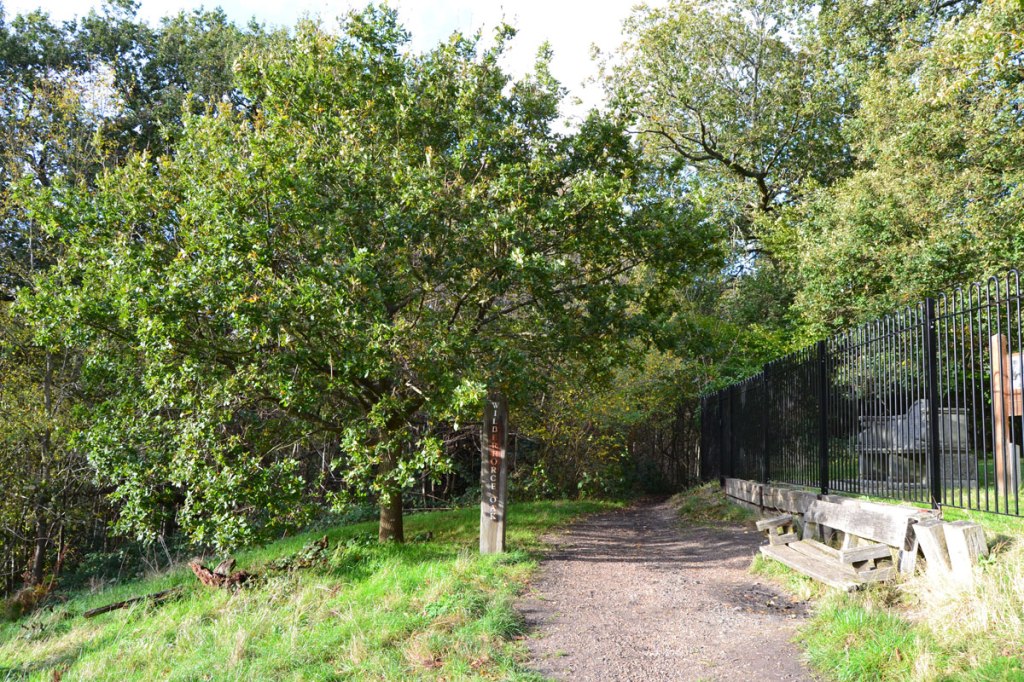
There are also tracks when you can get out of the mud – on the Chiddingstone, the Underriver, Knole and Bough Beech routes there are hardened paths to give relief. I’ve written about the tiny, quiet lanes here.

But there’s another factor to encourage you to walk on the chalk walks – the train. Eynsford, Shoreham (Kent), Otford are all on the Thameslink line down from Blackfriars. Kemsing is served by Victoria trains (but not Sundays sadly) and you can just about use Knockholt on the London Bridge line for walks starting in Andrews Wood (like Polhill and Pluto) if you don’t mind a walk to the start of the walk. There’s also the Hayes (not Middlesex!!) line from London Bridge via Lewisham for walks to Keston Ponds and Downe via Hayes Common.

Walking weekend in the Brecon Beacons

Walking weekend in the Brecon Beacons

I do enjoy a trip to the Brecon Beacons. Rather than the rushed but hugely enjoyable daytrip last time I took the train to Swansea then stayed with old friends in Llandeilo for the weekend. It rained, of course it did. Then it rained some more. But a great time was had despite Wales losing at both football and rugby while I was there. As well as walking at Llyn y Fan Fach (pictured), Dinefwr Park and Tair Carn Uchaf (pictured) on the western edge of the Beacons we took in a jazz concert by Claire Teal with Jason Rebello and band at Swansea university’s Taliesin arts centre, an old haunt. Some of the scenery, particularly Llyn y Fan Fach (of Lady of the Lake myth fame) reminded me of photos I’ve seen of Icelandic landscapes. A brilliant trip, but a wet one.

Trains, buses, walks around Keston and Whitstable

Trains, buses, walks around Keston and Whitstable

I’m trying to add more train/bus walks to the KWNL site; the traffic in SE London is a factor, as is the need to reduce car use and pollution. Then there’s the fact that lots of keen strollers don’t have cars anyway. I’ve got two new routes up my sleeve using public transport to access, but I haven’t quite got them finalised yet. One is Herne Bay to Whitstable (5 miles) which hardly needs a map… you just follow the coast path. Both stations are on the Ramsgate line from Bromley South. It’s quite expensive (£26 return) of course being a British train but definitely worth it. But I want to see if I can continue the walk to Faversham (doubling the length), which is also on the same line, using decent paths. I know you can but I haven’t done it yet. Also it means stretching the ‘Near London’ remit of this website somewhat, though the fastish train makes the trip fairly short in relation to distance and you arrive without feeling worn out by having to drive.

Closer to home would be a walk from Hayes station, the terminus of the London Bridge line via Catford Bridge, to Keston Ponds and then Downe (about 6 miles). From Hayes station you traverse Hayes Common, an attractive area of woods and heath to reach Keston. Behind the village is another woods from where you reach Keston Ponds. Looking at the OS map there is a ribbon of ponds from Keston and Hayes to Bromley Common. These are fed by springs and the Ravensbourne river, which rises at Keston Common.

Keston Common heathland

Beyond the two main ponds is an important area of heath then, after crossing the A233 you head through woodland to the Wilberforce Oak, where in May 1787 William Wilberforce talked with prime minister William Pitt the Younger (who lived at adjacent Holwood House, the Chequers of its time), about abolishing the slave trade. The spot is marked with a stone bench plonked there in 1862 and now behind the Holwood perimeter fence and a sign. There’s a dead oak still standing but that isn’t the Wilberforce oak. There are also bits of old oak lying about… maybe some of that is from the original. But there’s a nice healthy young oak anyway, planted about 30 years ago. There are also echoes of Roman and prehistoric settlements around this spot.

From here it’s pretty easy to walk all the way to Downe; cross the somewhat hairy Shire Lane, walk past the Holwood Farm Shop then take the footpath on the right which joins up with the Downe circular walk to bring you into the village from where you can get the 146 bus back to Hayes/Bromley South/Bromley North. One further appalling fact about the slave trade that only recently came to light: the descendants of slave owners in the UK were paid compensation for the loss of their ‘property’ from 1835 to, wait for it, 2015. Hard to believe isn’t it?

Lullingstone country park – perfect for a winter walk in fading light

The open spaces and long valley views of Lullingstone make for a very atmospheric walk at this time of year in clear conditions. The Shoreham-Eynsford stations walk takes in an area of the park, as does Walk 12 but its easy to devise your own stroll from the Visitor’s Centre or from Eynsford’s Roman Villa car park (not free) or train station. There is also parking in Eynsford village or in laybys along the road to the Villa. It’s a bit cloudy as I write but on Thursday the sky was fantastic, though there was no moon.

This slideshow requires JavaScript.

Shoreham, Kent – a perfect village for a stroll

Nine of the walks on this site involve the Shoreham neighbourhood, in the Darent Valley. This is good, because Shoreham is a decent little place with its four fine pubs, vineyard, Battle of Britain museum, river walk and houses from down the centuries. And it has a station, served by trains from London Blackfriars (sometimes Victoria too) via Peckham Rye and Bromley South, and Sevenoaks. Otford down the road is alright too. My walks use the valley rims, east and west; the valley floor along the river and the ‘dry’ valleys (geographical feature – not a reference to any shortage of pubs!) that flank the main one. The Darent river itself rises south of Westerham, on the shallow slope of the Greensand ridge and its early stretches can be seen on walks 15 and 21. Try not to drive through the village itself. On the east side of the village there’s a car park by the station and a huge layby almost opposite the station. On the west side there’s a free car park at Filston Lane. Best of all though, arrive by train if possible. There’s only one (tiny) shop in the place, so don’t expect to do your shopping there.

This slideshow requires JavaScript.

It’s a great village to stroll around, explore the ancient church and paths that skirt the northern side, around the back of the vineyard. Full details can be found on each Shoreham walk page. The Darent Valley path itself, which the walks here take in stretches of, is 19 miles long, starts by Sevenoaks station and ends at Dartford, as the river enters the Thames. So that’ll take awhile.

The sublime nine Shoreham walks

Shoreham station is most convenient for the eastern walks but it’s only a half-mile walk down Station Rd to connect with the western valley ones, too. Each of the walks can be adapted into something much longer by joining them together. 

Shoreham circular mk2 – with improved directions!

We did a superb new walk in late April. Sounds funny to say considering I’ve done Shoreham to death, but we came across yet another variation on the Shoreham (Kent) circular. This time climbing up on to the eastern rim of the valley and walking towards Otford then back down into the valley, popping out by the Olde George. Brimstone butterflies aplenty, buzzards soaring… idyllic. An excellent train walk… no car/bus needed. Full instructions here and PDF (initial errors now corrected!).

Brimstone butterfly

Not the best for bluebells (some in Dunstall woods though) but a super walk.

UPDATE: Apologies to those who tried this walk out then realised some of my PDF instructions were missing half way through! I had unwittingly and absent-mindedly positioned the map over some of the text without realising it. Also, I had referred to Mill Lane wrongly… in fact there is only one Mill Lane and that is at the northern end of the village. But there is a Mill Cottage in the vicinity! Thanks to the walker who pointed these errors out to me…

Camber Sands and Romney Marsh on a hot holiday Monday

After the verdant delights of Penshurst I headed to the coast on Monday – I knew there’d be terrible traffic but the chance to enjoy Camber Sands on a genuinely hot day was too good to pass up. I took my bike and before hitting the sands cycled 7 miles to Dungeness RSPB reserve and back, via Lydd. The area truly is unique… I think it qualifies as a desert, though not one of sand; after you leave Lydd heading east, shingle and strange scrubby flora take over – nothing to do with the nuclear power station I’m sure. Dunge is a mecca for birders, though it was very quiet when I was there, despite fresh reports of a merlin, marsh harriers, exotic sounding warblers and yellow wagtails all being active and visible. The area is very elemental… little softens the border between land and sky and I wondered what it must be like in winter with an easterly wind. Lydd looks a good village in some ways but quite cut off feeling. Not sure how the ambitious plans for Lydd airport will pan out… seems absurd to expand an airport here, when Manston up at Margate with its huge runway, failed to become a sustainable proposition. Great area though, a wonderful day out. Enjoy the pictures.

This slideshow requires JavaScript.

Hot bank holiday and Penshurst Place

An unexpectedly superb weekend of weather; it seems to me that late summer and early autumn are now routinely drier and warmer than mid-summer but I’m too lazy to look for figures to back that up. I hope, dear readers, you’ve been able to get out and about. A small component of my family ventured forth by car and bicycle to Penshurst Place (on the Chiddingstone circular walk) yesterday. We parked at Haysden country park a mile or so from Tonbridge station, then cycled the remaining 3.5 miles to Penshurst Place, on lanes at first, then off-road alongside the river Medway.

We passed a good swimming/picnic spot in the river close to the bridge as it passes beneath Ensfield Rd, before ascending the moderate hill at Well Place Farm then freewheeling down the slope to Penshurst Place manor house itself. The gardens are always a joy and so is the cafe by the house in a large courtyard dominated by a lime (I think) tree. I wrote about the house and its interesting history for the Guardian a while back – also got more detail there on how to get there and prices. A great afternoon out if you are fancy free on the bank holiday but best done with a car/bike combination.

There are trains from Victoria (via East Croydon) and London Bridge but Penshurst station is two miles from the house. I haven’t devised a walking route from the station away from the road yet but there must be one. Hmm…

This slideshow requires JavaScript.

Find a north-west Kent walk that suits you


Here’s a map of all the walks on this site so far. Click on the pointers to take you to descriptions of the walks online or in printable pdf format. Alternatively, use the walk tabs at the top of this page.

The best walks on this site for public transport, if you live in SE London are:

Best for public transport: Chislehurst/Petts Wood walk (13): direct train to Chislehurst/Petts Wood/Bickley stations from Brixton/Hither Green/Catford/Herne Hill/West Dulwich/Peckham Rye/Nunhead. For the Shoreham/Eynsford and Otford routes (walks 2, 3, 5, 8, 12, 14, 16) there are trains direct to the starts of the walks on Thameslink services between London Blackfriars and Sevenoaks (stopping at Peckham Rye, Nunhead, Catford, Bellingham, Bromley South etc). Trains are relatively frequent and take about 30 minutes from, say, Catford to Otford. Pubs in Shoreham and Eynsford well placed for any delays or cancellations!
So-so for transport: Downe (walk 1): closest route to SE London but involves a (fairly frequent) 25-min bus ride – 146 from Bromley South station
OK for transport: Knole Park (walk 11) – you’ll have to walk from Sevenoaks station (good rail services to Sevenoaks station on Thameslink – see above – or Charing Cross line (Hither Green etc) for nearly a mile to the leisure centre and enter Knole from there, joining the walk as per instructions and map.
Bit of a stretch but do-able: Hever (walk 9) actually has a station, on the London Bridge line via East Croydon, so quite easy from Forest Hill, Brockley etc if you plan ahead. The walk starts at Hever Castle, 1 mile from the station but there’s a path that will take you there from the station.
Not so accessible: Sevenoaks routes (walks 4, 6, 7): can take train to Sevenoaks station on Thameslink or Charing Cross line (Hither Green etc), but then a taxi ride – Ide Hill is about 4 miles from the station; One Tree Hill about 3 miles (also quite close to Hildenborough station).
Car only, although…: I think Chiddingstone is definitely best by car. But, you can take the train to Hildenborough or Edenbridge and get a taxi (more details on walk’s page). Westerham/Chartwell is best with a car, though again bus from Bromley is possible (246), as is taxi from Sevenoaks station.

Always check ‘live departures’ online for trains – service disruption is quite the thing these days you know.

Best for views

One Tree Hill, Ide Hill, Otford circular via Romney St, Fackenden Down, Westerham/Chartwell, Shoreham’s mystery eastern valleys, Polhill, Eynsford/Lullingstone. Oh… actually all of ’em.

Best pubs on the walks – click here

See menu at top of page for full list of walks

New walk: Shoreham’s mystery eastern valleys

Beyond the steep, thickly wooded eastern wall of the Darent Valley is a quiet chalk upland area of dry valleys, meadows and plateaus. There’s a disused golf course, now overgrown and becoming a bit of an unofficial wildlife reserve, lovely north-south views, a discreet private airstrip behind a strip of woods from which vintage light aircraft are regularly flown, and, well… that’s it really. It’s a very atmospheric area and, for me, quite different in nature from the western valley wall. My new, ‘eastern valleys’ walk (number 14, 4.5 miles, pix below) really digs into this tranquil, timeless landscape via the little hamlet close to the defunct Austin Lodge clubhouse. Also the Otford/Shoreham/Romney St walk (5) takes in some of it. Walkers can combine the two routes to make a 10-miler or combine them with the Shoreham Circular strolls (8.5 miles). The starting point for the new walk is Shoreham railway station, which is well connected to south-east London, by Thameslink trains (not the most reliable line but so handy for the countryside). It can also be started from the church with an alternative route up to the plateau. There are some steep sections so you’ll feel this one afterwards. Enjoy. (Download a pdf of this walk.)

This slideshow requires JavaScript.