
Autumn in these parts is spectacular. I know people talk in hushed tones about the colours of New England, Canada and Italy’s Apennines in the fall, but really the effect is pretty similar wherever there are trees! Once again, don’t overlook what’s on one’s doorstep in favour of an expensive and laborious trip. The November views of the Weald from Wilmot’s or Mariner’s Hill, or across the Darent Valley and the beech woods of Lullingstone are undeniably amazing. The ever-changing wide skies of Kent are a big factor in teasing out colours and optimising certain tones with the lower sun offering saturated reds, yellows and pinks. And greys, let’s not gloss over.
What’s surprising to me looking at the photos below is how green the countryside is in the Penshurst photo compared with those from elsewhere, yet it was taken on 1 November one week before this weekend’s Hosey walk, and a week after the trip to Shoreham represented here. Strange… could be sunshine and time of day I suppose.
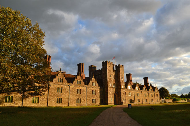
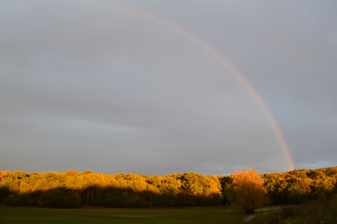
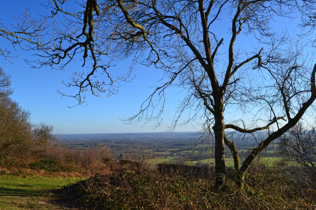
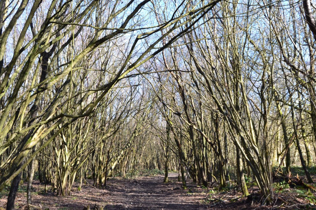
I have lots of great autumn photos from over the past nine years of operating this website. But a selection from the past two weeks (mostly – the Downe and Ide Hill photos are from previous years) is enough to make the point – autumn is a terrific time for a hike on any of the routes at KWNL.

Mariners Hill view across the Weald on the Hosey walk 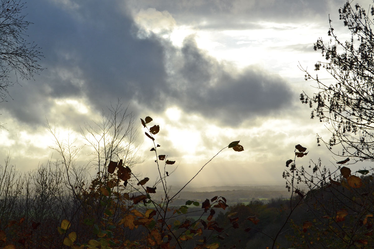
Sunbeams and silhouettes looking west from Mariner’s Hill on the Hosey/Westerham walks 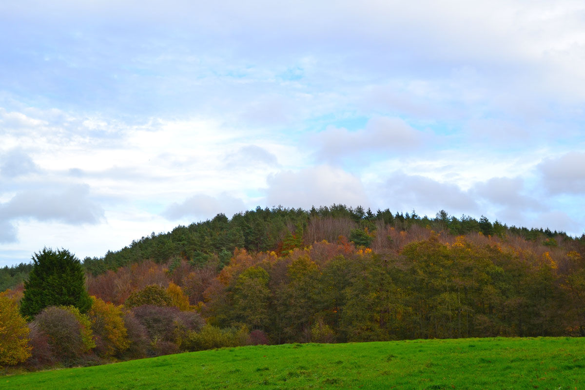
Tower Hill, near Westerham, on the Hosey/Westerham walks 
A view across the Darent Valley looking east from between Eynsford and Shoreham. 
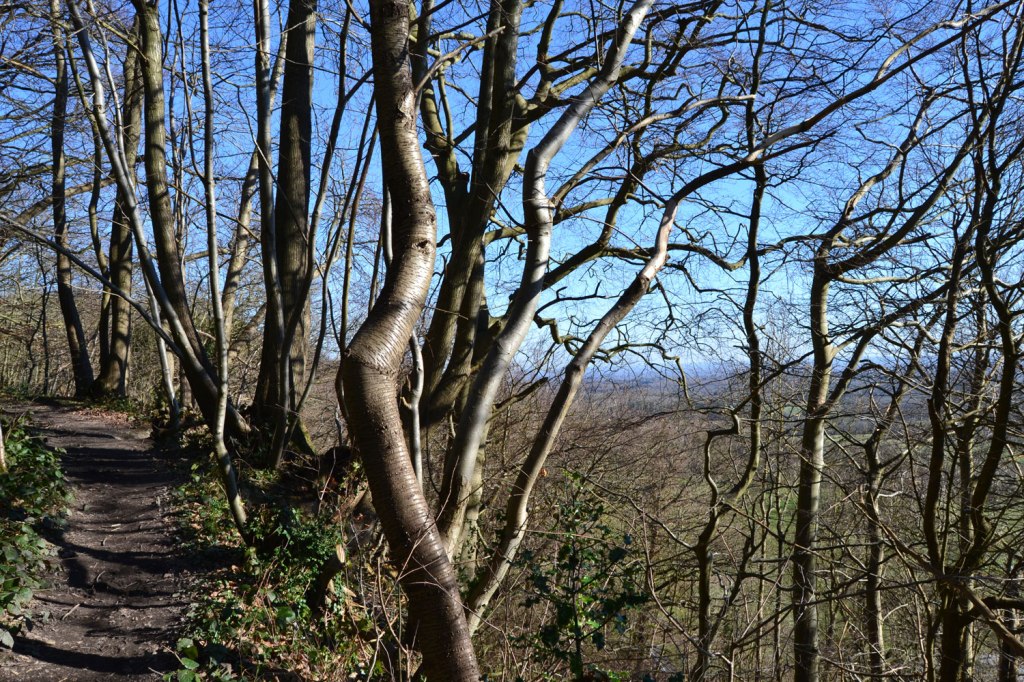
Infant Darent River from the Hosey path 
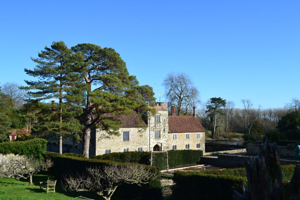
Near Penshurst on the Chiddingstone walk 
Mariners Hill 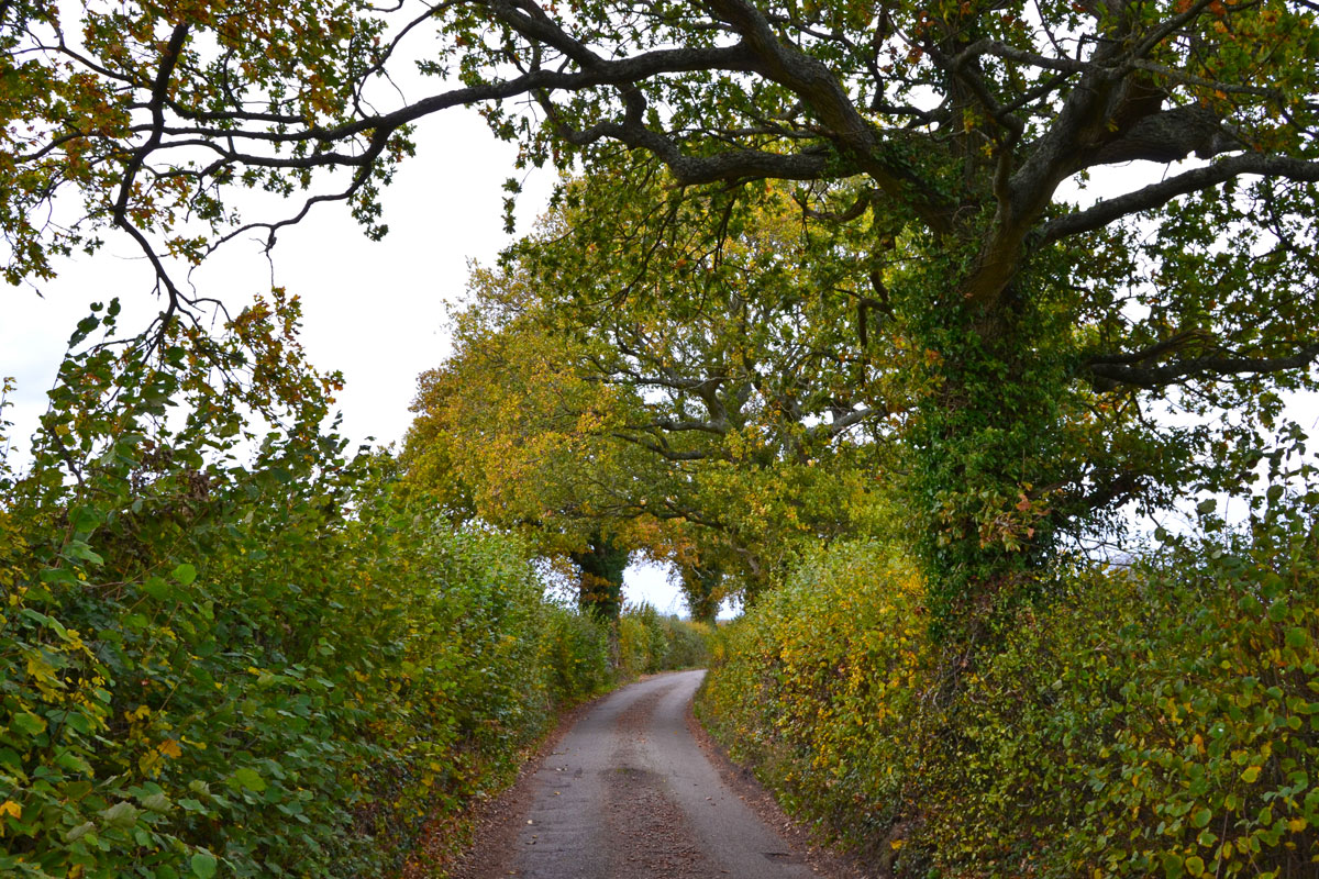
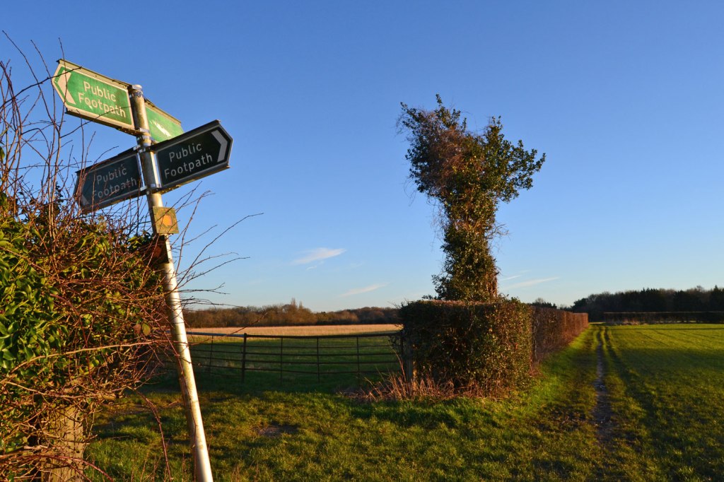
Country lane near Romney Street 
View from Shoreham station bridge 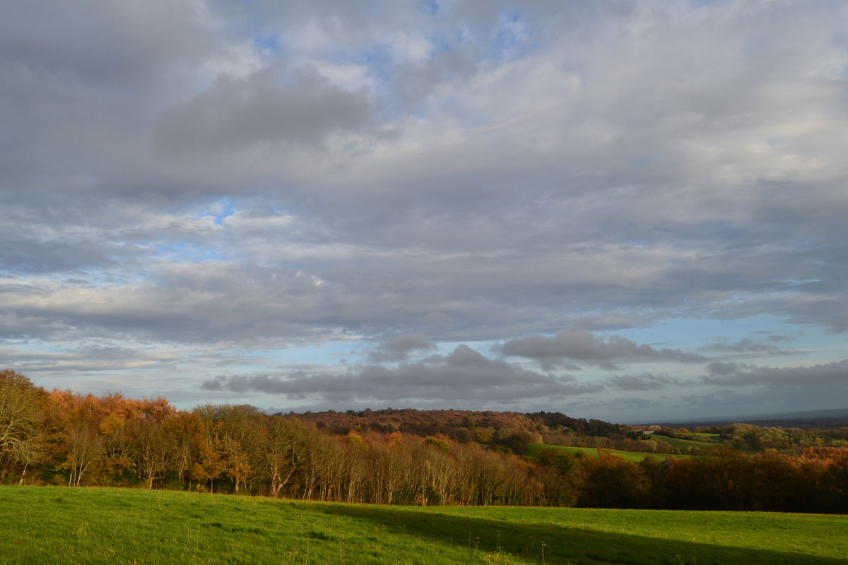
Mariners Hill view again 
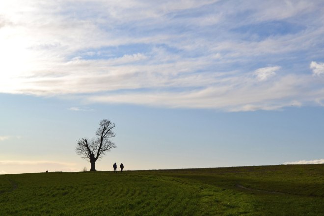
Wilmot’s Hill, One Tree Hill figure of 8 walk, at dusk 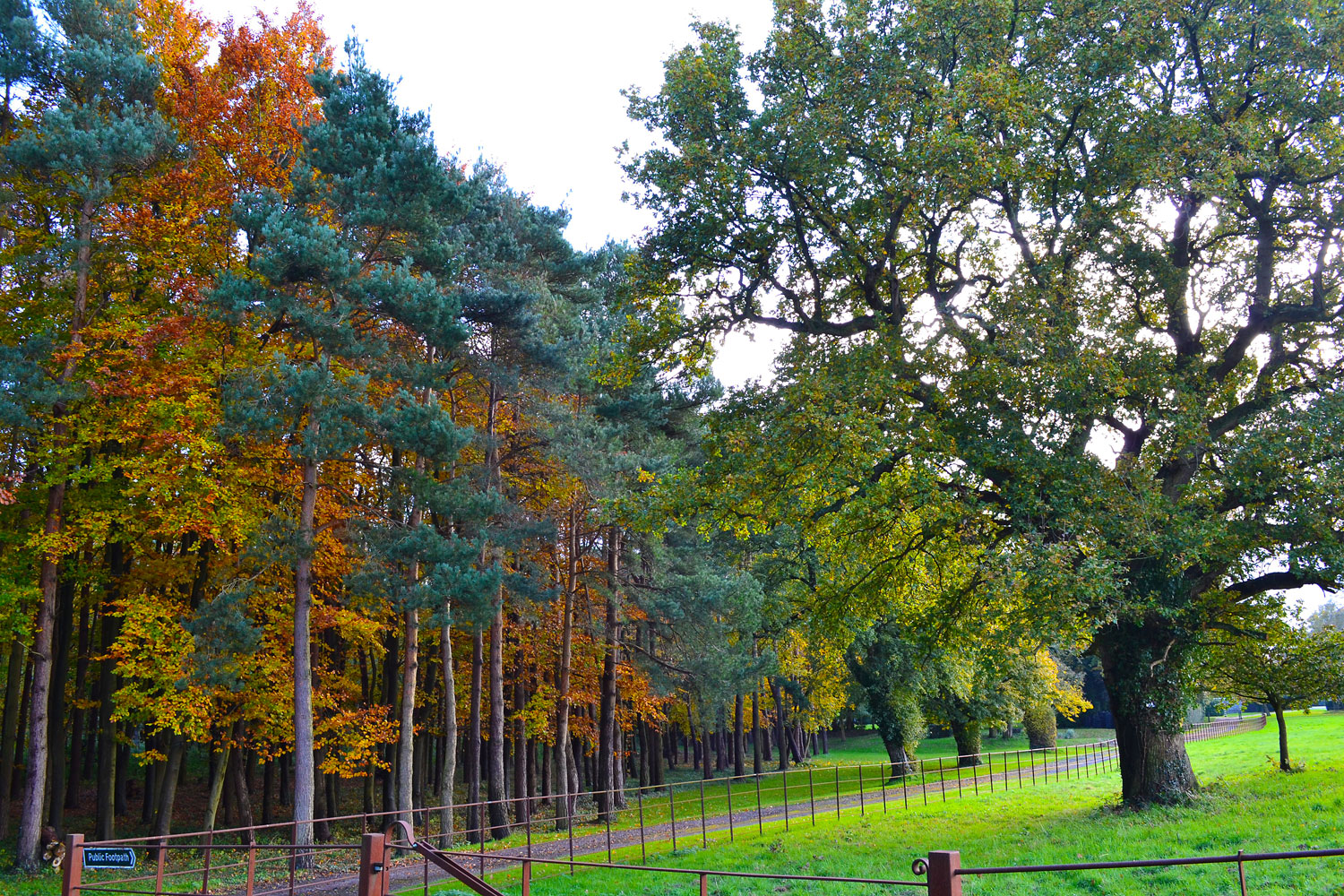
Downe walk 
A deer in Downe, autumn 
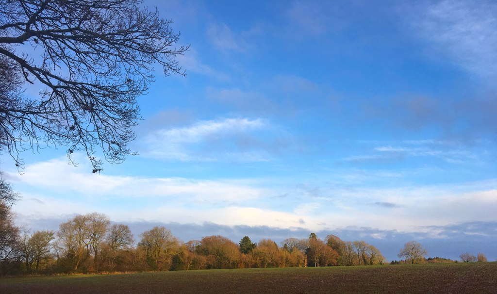
Fackenden Down view 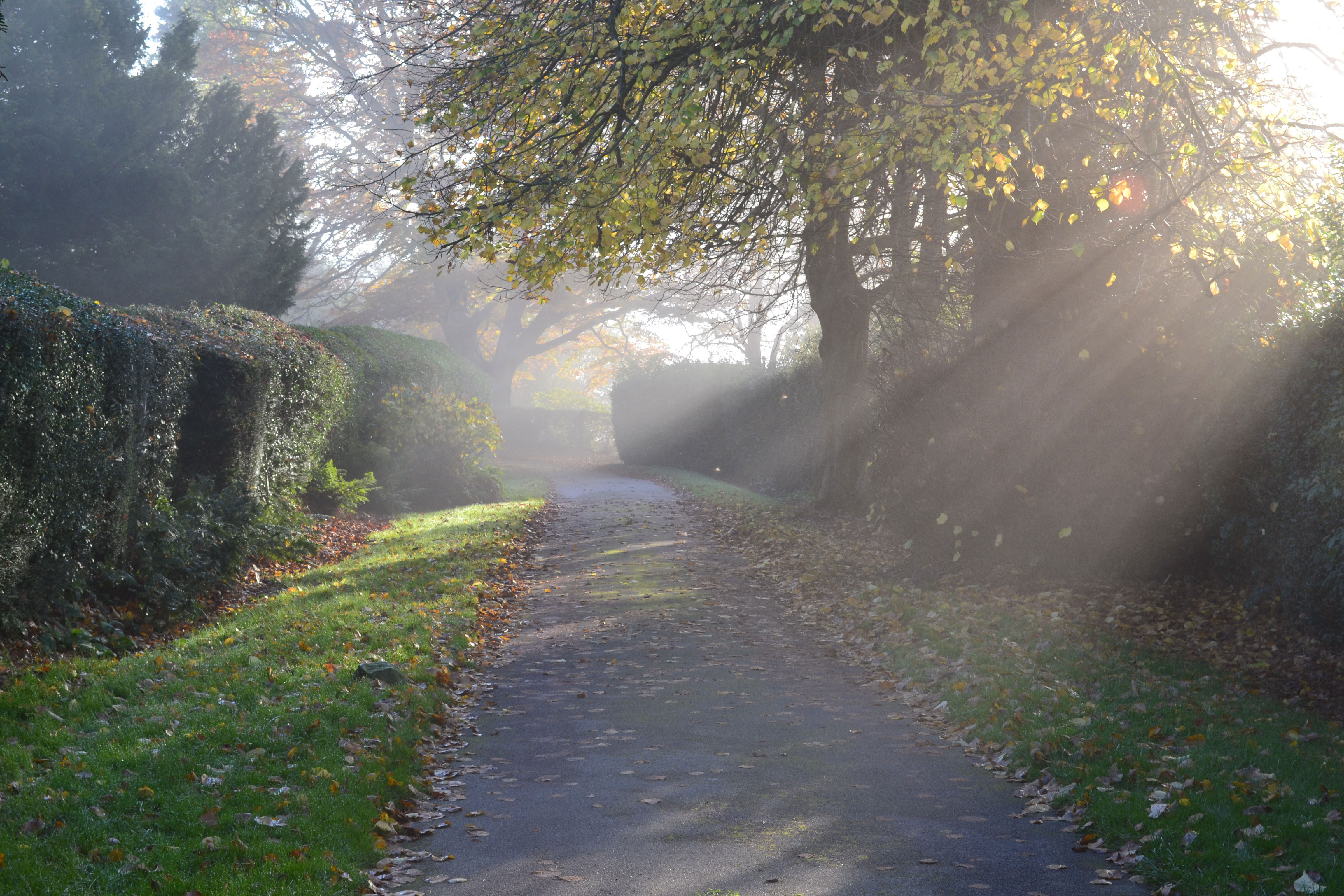
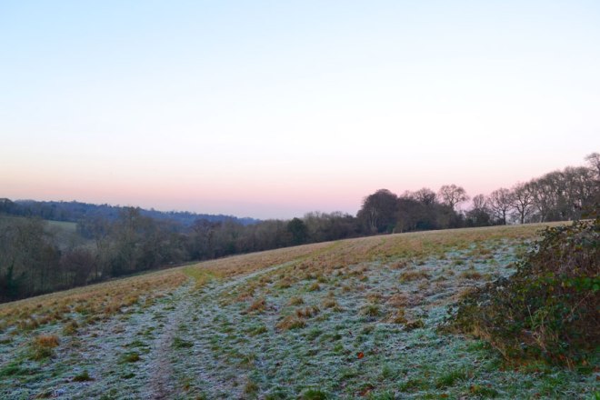
Start of Ide Hill walk. Autumn 
Classic autumnal Kent view from Emmett’s Garden looking across Bough Beach to Chiddingstone and the Weald 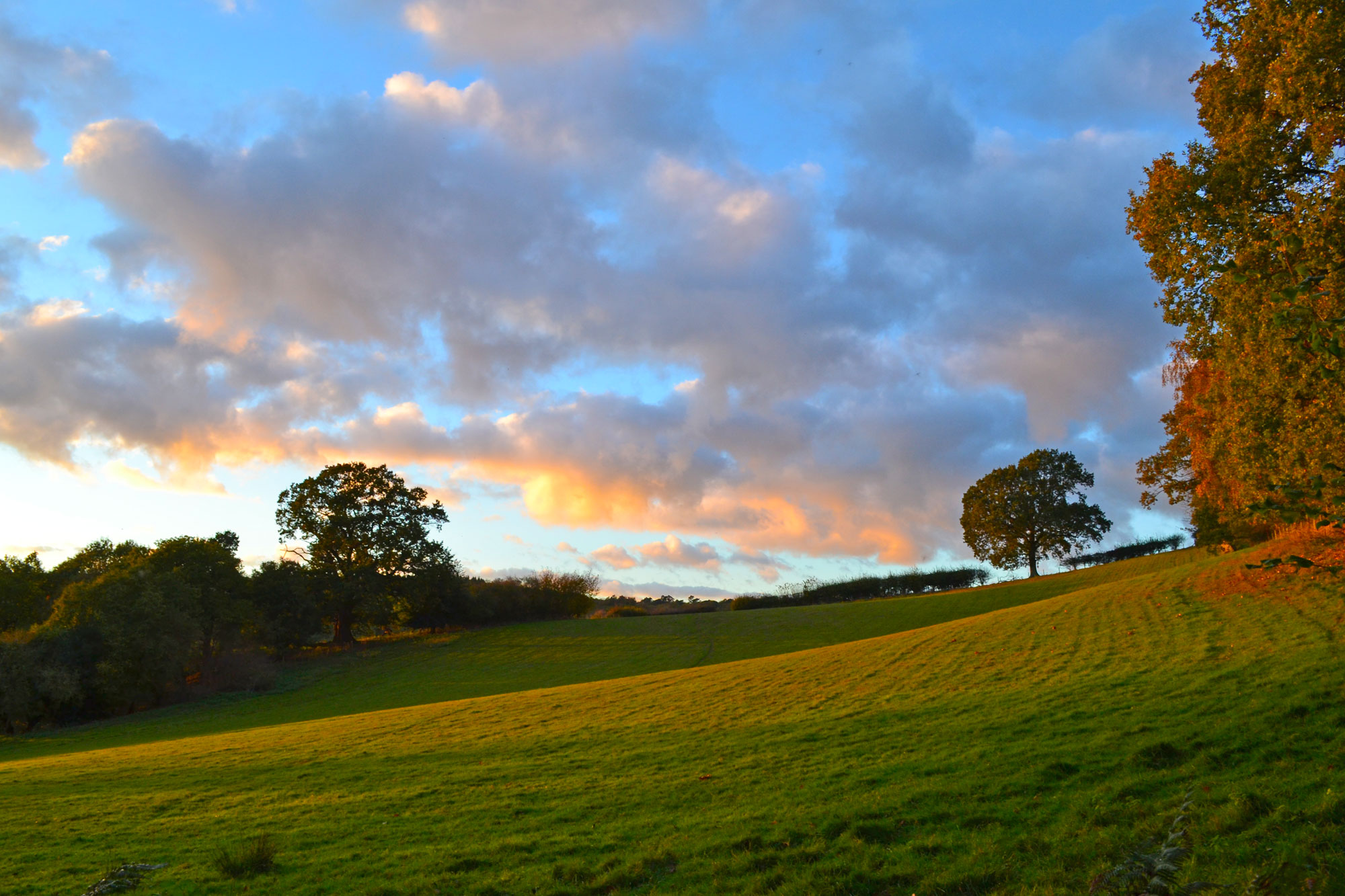
Ide Hill field, dusk, autumn 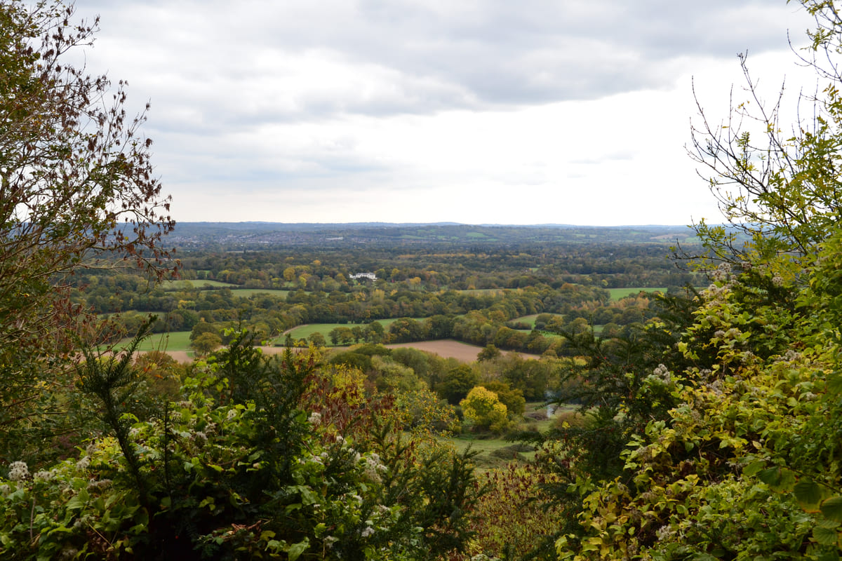
Wilmot’s Hill, late October 2025. One Tree Hill – Ightham walks