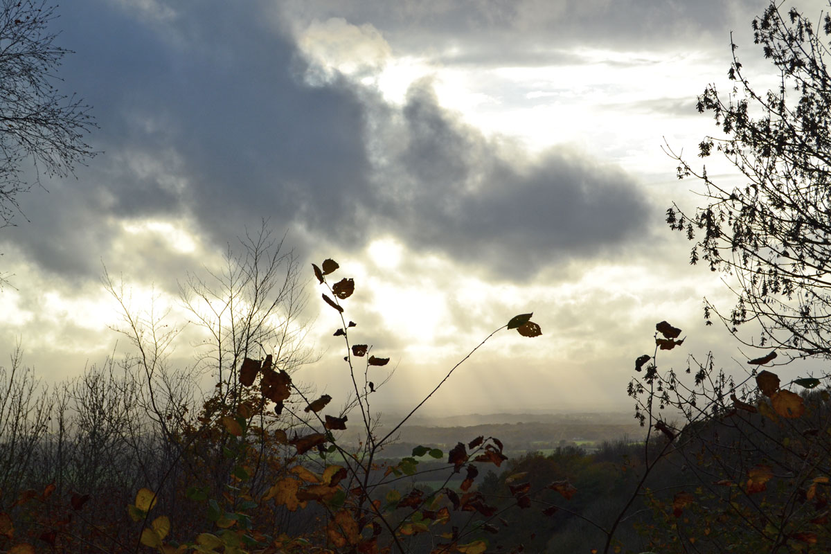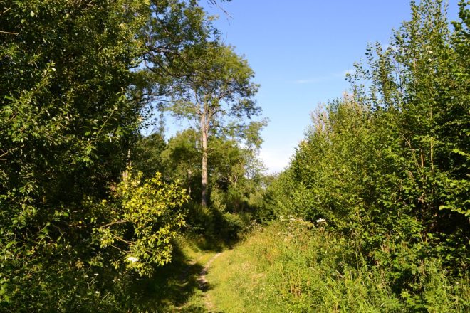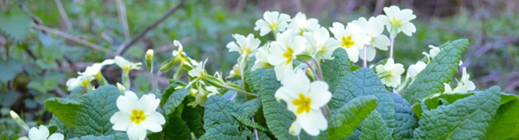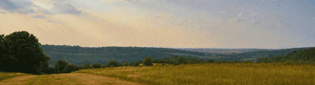

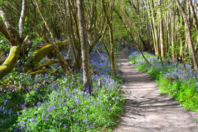
It’s time for the big reveal. The bluebells are at their best as I write so if you want to see them, you’d better get on with it.
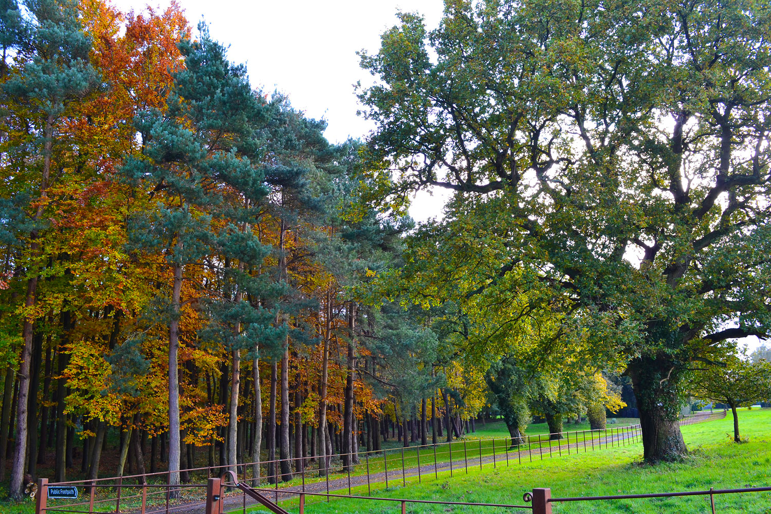
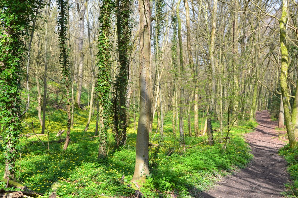
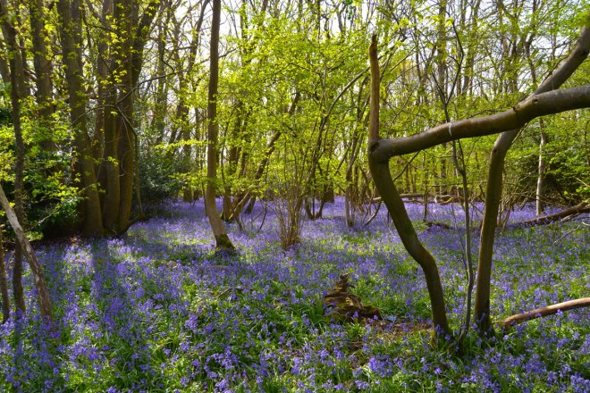
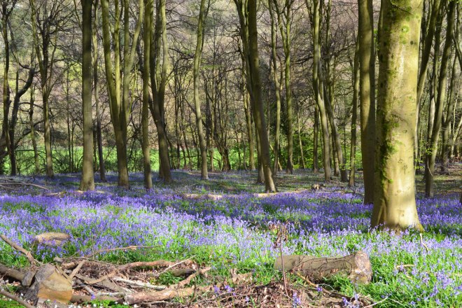
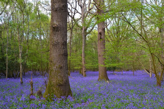
The judging is over. The woods of north-west Kent have been perused and dreamy drifts of deep or light blue flowers (it all depends on the light, you see) assessed. The criteria, as ever was distinctly arbitrary – much depending on how I felt at the time. The judging panel (me, again) did not use any clever techniques such as cross-tabulation, quantitative and qualitative analysis, but simply looked around and gauged my immediate emotional response. I did peer into the distance to see how far the bluebells went – I think that’s the key to this; each of the shortlisted entries have bluebell vistas that stretch as far as the eye can see in the woods. The rest is down to something indefinable – the angle of the sun, whether there’s a glade to offset the tangle of trees. But I will lay down the law down on one aspect of all this: there must not be more than the absolute bare minimum of brambles. Sadly I wasn’t able to check out the bluebells at Petts Wood this year, or Oldbury, Heaversham, Kemsing, High Elms, Downe Bank. Apols for that! And I ought to remind readers that photographing bluebells isn’t easy – they are usually in tangled ancient woodland with little in the way of a view. They are strangely unphotogenic you could say, however beautiful they are in person.
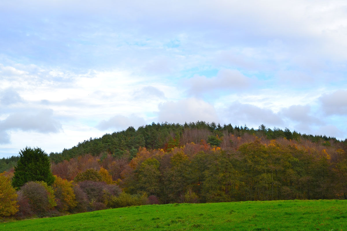
So here is the top 5 this year – all of which could easily be visited in a single day (less than five miles separate the shortlisted drifts):
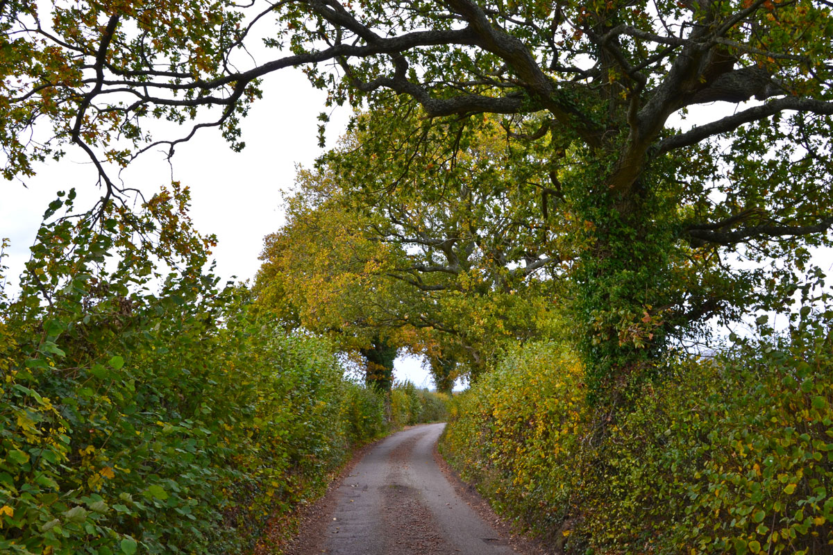
5 Piece Wood, Single’s Cross Lane, Knockholt Pound
OK so this gem isn’t actually on one of the walks though it is quite near to the Knockholt Pound-Chevening route and is on my cycle route 3 on Single’s Cross Lane. The wood – part of the same continuous woodland that starts at Newyears Wood to the west – runs along the tiny lane and is an untidy but excellent tangle of hazel, beech, oak and so on. No one can walk in this fenced-off tract, the best you can do is stand by the barbed wire fence and gaze open-mouthed at the unbroken swathe of blue. Round the corner on Blueberry Lane (what a great name for a country road) is the bluebell field of Elgin House, also spectacular (and the inaugural winner in 2024). Kirsty tells me: “Its garden was open to the public at peak bluebell time in 2022 and we visited it then. We were able to walk in the bluebell field. It is truly amazing, I think because of the lack of understorey and the spacing of the trees.” The whole area is full of little woods flooded with bluebells. Maybe bicycle is the best way to get around it.
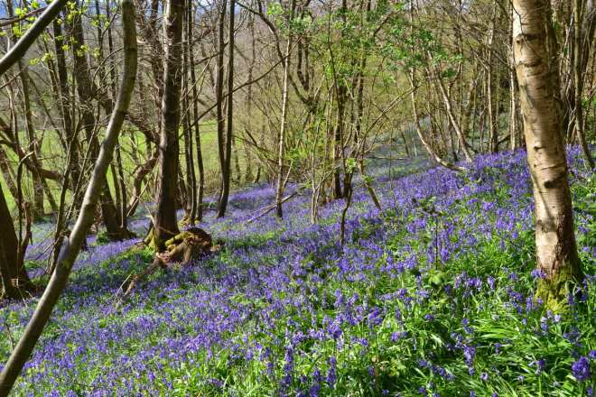
4 Andrew’s Wood, between Halstead and Shoreham
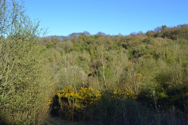
This wood, close to Polhill Nursery and on the Polhill/Pluto walking route has a useful car park. The rushing traffic noise of the M25 detracts slightly. But once you’ve crossed over the motorway and heading east things start to align nicely. The best bluebells are on the east facing slopes bordering the nicely secluded dry valley. Some recent timbering work has probably enhanced the wildflowers, giving them more space. Maybe. It’s a lovely spot in any case though I’m pretty sure the bluebells used to extend further west where brambles seem to have spread.
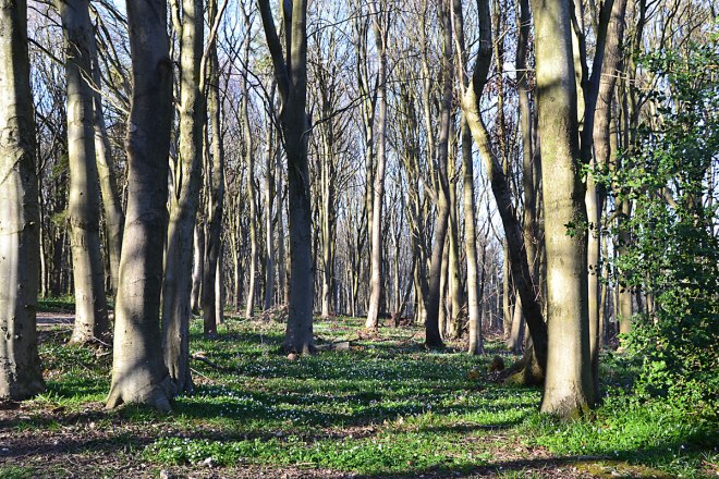
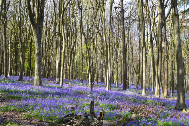
3 Newyears Wood/Birches Croft, east of Cudham
Last year’s winner. On the delightful but understated Cudham chalk paths walk this one. I think the Birches Croft segment are best… real long-distance swathes of cobalt beneath stately oaks. And quiet; unlike Andrew’s Wood and Meenfield Wood you don’t see many people here. So why only 3rd this year if they are so good? Great question you ask there, Adam. The answer may be because I visited them on a Sunday rather than a Saturday. The latter is a happier day.
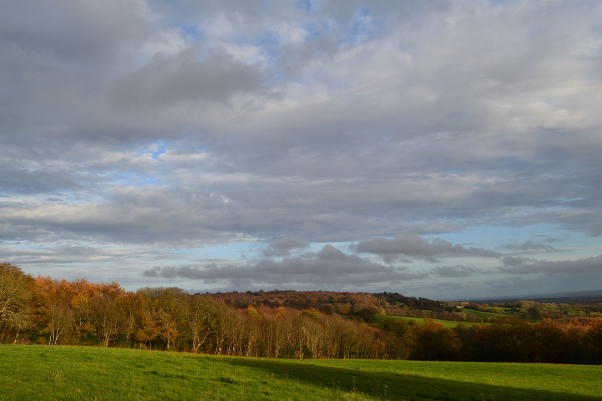
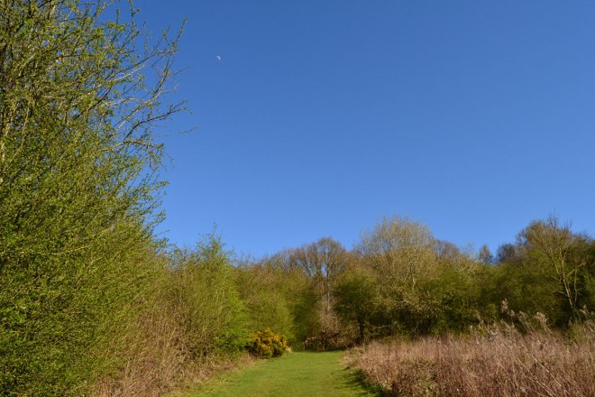
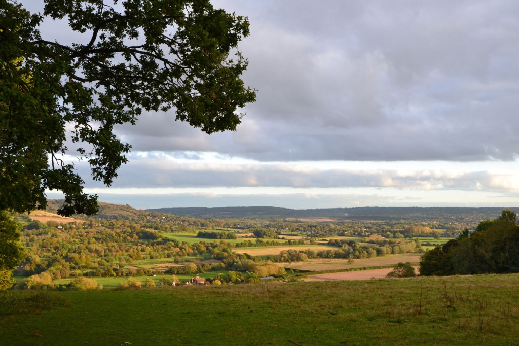
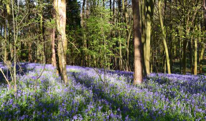
2 Meenfield Wood, Shoreham
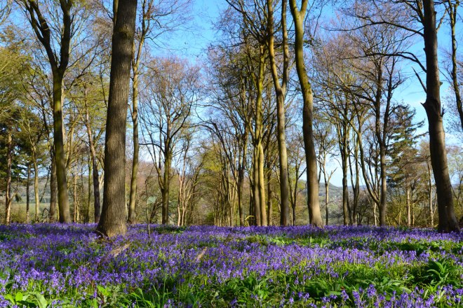
High on the ridge west of Shoreham, this wood is on four walks: Shoreham and Polhill Bank; the classic Shoreham circular (with extension); Shoreham circular via Otford; and Polhill/Pluto (sort of). The judge visited on a breezy, bright mid-April day; superb conditions for walking. I particularly like how the bluebells slope east and west on either side of the ridgetop path – so you could catch glimpses of the valleys, the sky and distant countryside beyond. Timber work has let in more light than in previous years so the bluebells have flourished and there are brilliant drifts that seem to go on forever. I had it down to win, until …
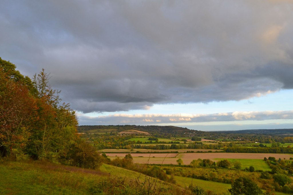
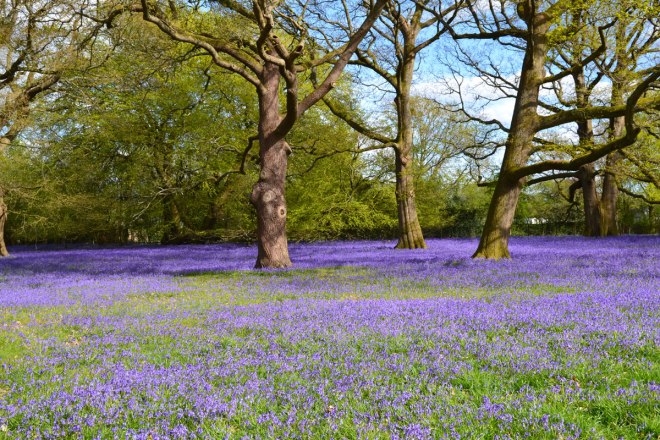
1 Home Wood, Lullingstone
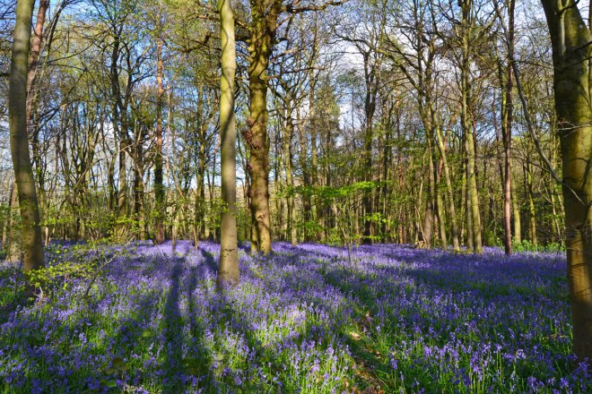
Like Meenfield Wood, a Saturday visit in late afternoon light showed off this tract at its best. Home Wood is on the southern edge of Lullingstone country park, where it butts up to Redmans Lane. It is encountered on the Full Lullingstone 4-mile walk, not the Eynsford-Lullingstone one. The feeling of the “secret wood” is at its most powerful here – and the path goes obligingly around the perimeter of the bluebells before rejoining the main route through Beechen Wood and eventually down to the Lullingstone visitors’ centre. It wins because of its tranquillity and obscurity – it’s like an exquisite work of art left in a forgotten room in a vast crumbling stately home. Few make it there, but nobody who does is left unmoved.
What about the others?
Apologies to the bluebells that didn’t make it to the shortlist. Emmetts Garden and Scords Wood on the Ide Hill route will once again snort with derision at being left off, while Hever, Oldbury and Petts Wood will understandably feel cold-shouldered. I just can’t get around all of them in time. One Tree Hill and Wilmot Hill had some nice bluebell patches last weekend but here they adorn the walk rather than saturate it. The same can be said for Hosey/Westerham and Chartwell routes although their advocates will be fuming. They may note that I’ve favoured the chalky North Downs bluebells over the sandy Greensand Ridge ones. It does seem a bit unfair but that’s life in the woods I’m afraid.