These parched lands

These parched lands

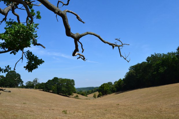
As I write there is a hint of rain in the forecast. The Met Office has the ‘odds’ at 30%, yet the sun is once again blazing on this delightful Monday morning. I say delightful but of course many of us feel a bit torn about the whole thing. I love being able to nip down to Camber Sands or Hastings whenever I can, in the knowledge the weather will be great, but unlike the smarmy opinion writers in the Telegraph or Times, you can’t help but be extremely worried about the unpredictability of British weather in the age of global warming. Flooding is quite likely to follow drought and the effects of it all won’t just be felt on food prices and farmers’ livelihoods (as if that wasn’t enough) but on our houses, gardens, trees, wildlife. You know all this.

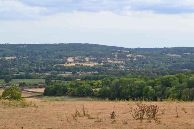
  • from the North Downs escarpment near Brasted
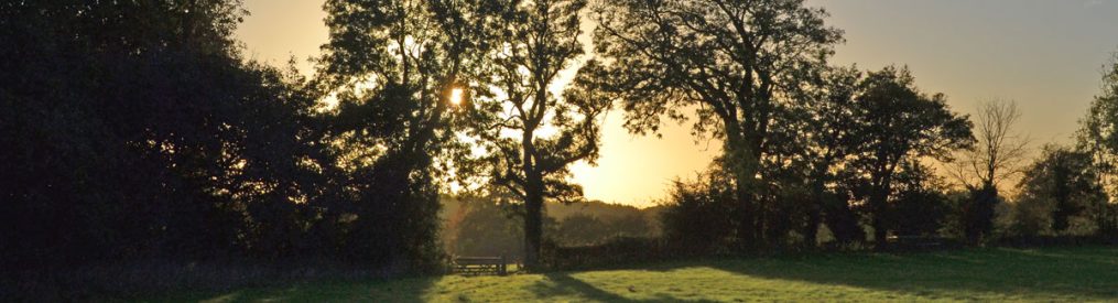
  • Farmhouse near Knockholt
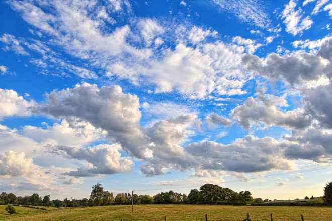
  • Cudham countryside big sky

As for Kent walks, I like the usual late August ‘tiredness’ in the countryside, the quiet, the drowsy beer-thirsty wasps and the sense of being on the cusp of change (swallows gathering their forces to head to Africa etc). But this year the aridity, the colours, the mood has hugely exaggerated that normal late August vibe. On yesterday’s cycle from Downe to Knockholt and back via Green St Green and Cudham the sombre browns, dustiness and silence were at times wonderful, at others dispiriting. I supposed it depended whether I was going downhill or not.

I’ve taken to my bike with friends and family for North Downs rides of late, creating our own breeze is rather refreshing, and put actual walking a bit on the backburner (I quite often walk alone but lately I’ve preferred company – which isn’t always available). A ride from Sevenoaks to Penshurst via Tonbridge was particularly pleasurable. But yesterday, on the escarpment, the humidity felt suffocating in the unusually cloudy conditions. After a pint of Harvey’s at that excellent boozer the Three Horseshoes in Knockholt the remainder of the ride back to Downe passed in a blur of sweat and haziness. Should have drunk more water, deffo.

Nightjars in the Ashdown Forest

A memorable outing this weekend was to the Eastbourne air display. When the tide is in the stony beaches they are excellent for a swim, with the added frisson of aerobatics by Spitfires and so on. There are some good cafes amid the glorious Victorian white stucco in the side streets too. For a free event that attracts thousands, it really does work well because there is lots of space in the town and plenty of beachfront. And just a short walk to the west is spectacular Beachy Head and beyond that, the Seven Sisters, which in the late afternoon light are utterly magical. After a delightful pint at the Tiger Inn in East Dean, just up from Birling Gap, we set off for home via the Ashdown Forest.

At Gill’s Lap (Galleon’s Lap in Winnie the Poo), one of the highest points of the heath, we parked up and took a stroll among the heather and pine clumps, visiting the Heffalump trap, Kanga’s sandy pit and the Enchanted Wood (yes, they are real places – and just to the east is Eeyore’s Gloomy Place I kid you not). In the twilight the surrounding landscape and huge views turned pink and purple; it really did feel enchanted. As we headed back to the car we were suddenly surrounded by elegant, long-winged birds of a kind I had never seen before. I knew right away they were nightjars. There were four or five of these nocturnal creatures, gliding and side-slipping so beautifully in the dusk but totally invisible after they landed in the heather. My son managed to get video footage (see below).

A late winter walk in the Ashdown Forest

A late winter walk in the Ashdown Forest

A rare day off afforded me (us, actually) to venture somewhere during an afternoon when it didn’t rain continuously. We settled on the Ashdown Forest, an hour’s drive from my corner of south-east London, in East Sussex between Tunbridge Wells and East Grinstead. A perusal of the visitor centre’s maps online led us to choose Walk 11, Chelwood Gate, in the south-west of the Forest.

The area has got the lot: interesting geology, flora and fauna, views, history and literature, being the landscape for Winnie the Pooh’s capers with many recognisable spots. These include Eeyore’s Gloomy Place, Galleons Lap, the Heffalump trap, for example, all of which can be identified.

The walk was beautifully laid out in printable format, with lots of informative text. But it was very difficult to follow; a “narrow path” beside a ditch was actually a wide path that went through a huge puddle – that sort of thing, but we made it around thanks to careful map analysis. In fact, with a compass, a sense of direction and an Ordnance Survey sheet you can pretty much make it up as you go; there are many paths to choose from and the Forest’s inner Pale is open for exploration in a similar way to Knole Park, for example.

What was immediately apparent was just how much rain has fallen this winter; everywhere there were overflowing ponds, gushing streams, seas of mud. You’d think it was Scotland at times. But in fact the Forest, being easily the highest point of the Weald between the North and South Downs does attract far more rainfall than the lower surrounding areas and really does pep up the local rivers, eventually flowing into the Eden and Medway. The high heath and the Pale melds into wooded valley mires where the pines give way to alder and birch, and planks serve as bridges over vigorous streams, alongside some very old looking stone bridges.

This slideshow requires JavaScript.


I love how the Forest has its own vocabulary: there are ghylls, hatches, laps … And the names of the car parks are evocative too: Friends, King’s Standing, Roman Road, Goat, and of course Piglets and Pooh.

After we finished with Chelwood Gate (where medieval hero John of Gaunt used to enter for hunting and a home to Howard Macmillan, who once entertained JFK here) we drove a few miles east past Nutley and up onto the highest part of the Forest, to Gills Lap (Galleons Lap in Winnie the Pooh). Up there the views extend over bright yellow gorse for mile after mile in all directions. We walked down to the memorial to AA Milne and EH Shepherd. I felt quite moved, those stories have a real character and a sense of an innocent time that has been lost.

Our final port of call was the 15th-century Anchor Inn in the small village of Hartfield, a cosy labyrinth of a pub that serves two of the finest ales in all England: Harvey’s and Larkins. As we arrived at dusk a barn owl glided across the road in front of us. Then it was back to the smoke to plonk in front of the telly to watch Chelsea beat Liverpool … who would have credited that?

Getting there on public transport: Train to East Grinstead from East Croydon then the 261 or 270 bus seems to be the best option. At East Grinstead the brilliant Bluebell Railway takes day trippers by steam train down to Sheffield Park, south of the Forest. At the moment a landslip caused by rain means trains can’t reach East Grinstead, but there is a bus service from Lingfield. Boring though… so best wait ’til services are restored, hopefully in spring.
Getting there by car: Drive via Keston, Biggin Hill, Westerham, Edenbridge, Cowden and Hartfield on the rather pleasant B2026.