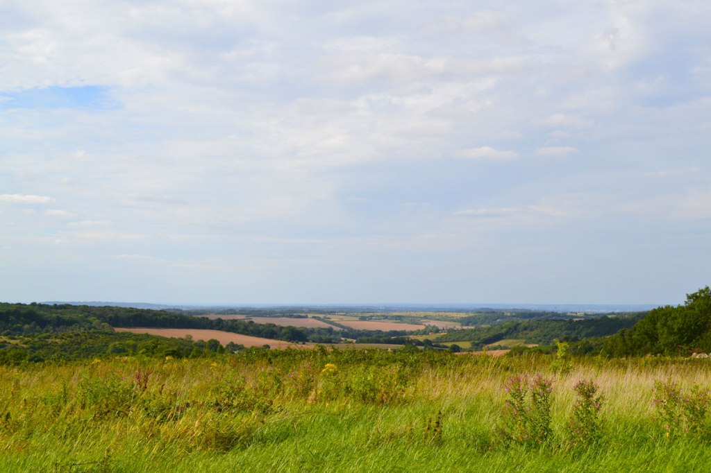

A walk around Birling Gap in East Sussex amid the famous Seven Sisters chalk cliffs was just the tonic for a dreamy August last afternoon. It’s a brilliant trip that we do fairly regularly. We started on the beach at Eastbourne with a picnic while enjoying the August airshow, before hitting Beachy Head and the Gap. After a pint at the superb Tiger Inn in ancient East Dean, we topped off the adventure with a 45-minute sunset stroll along the lower Cuckmere river from the Seven Sisters visitor centre to the sea. It was blissful but busy with tourists and folk down from London … which is just fine with me; it’s great to see everyone out enjoying the beautiful countryside, and the joy people were feeling in the sea air was kind of infectious. It felt a bit like going to the cinema – the pleasure of a shared experience of wonderful scenes is a great thing. Sussex by the Sea is a special place.

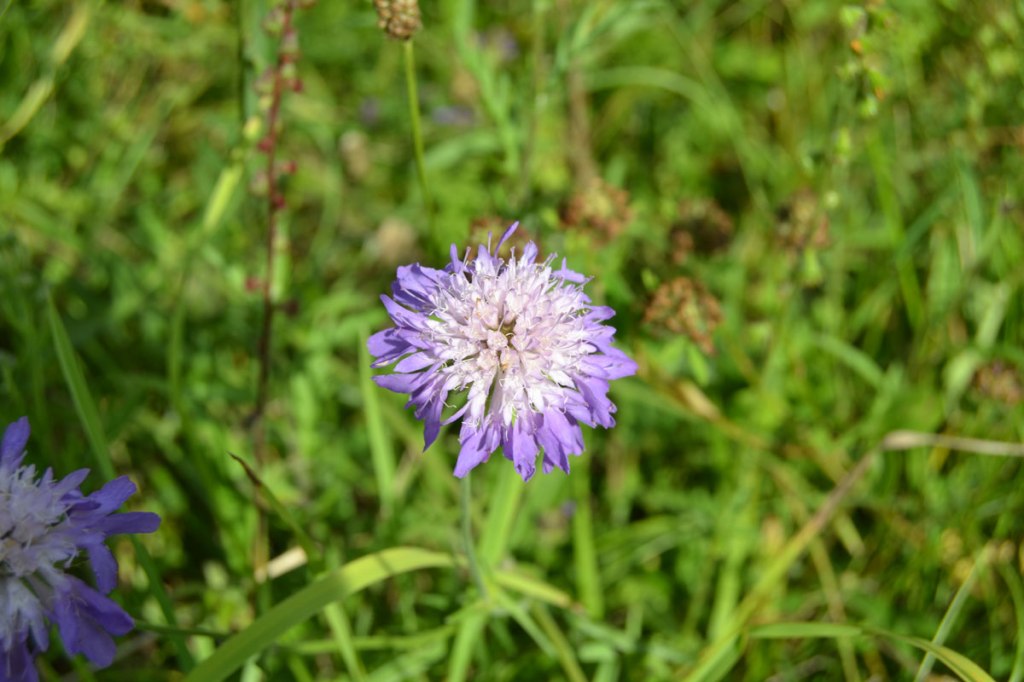
Comma butterfly, Chevening 
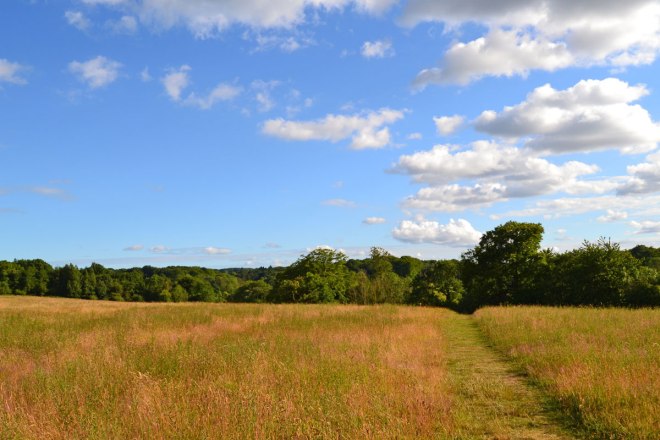
View from scarp above Chevening 
Looking up at the Seven Sisters 
Birling Gap 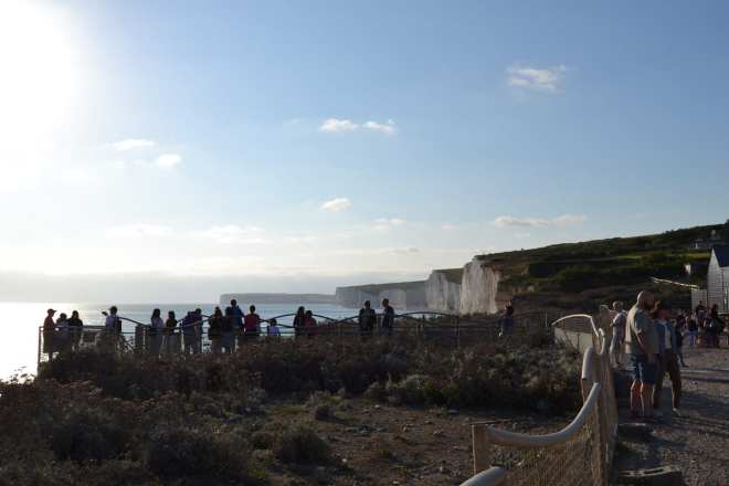
Visitors at Birling Gap 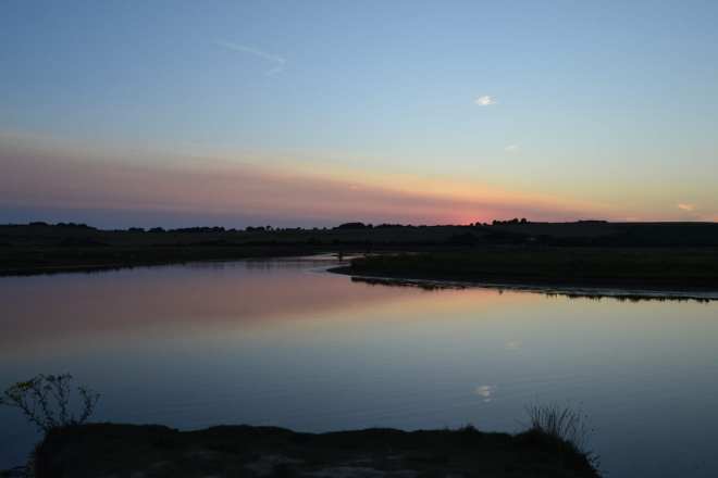
River Cuckmere, sunset 
Gleaming chalk cliffs, Birling Gap 
Queue for the bus, Birling Gap 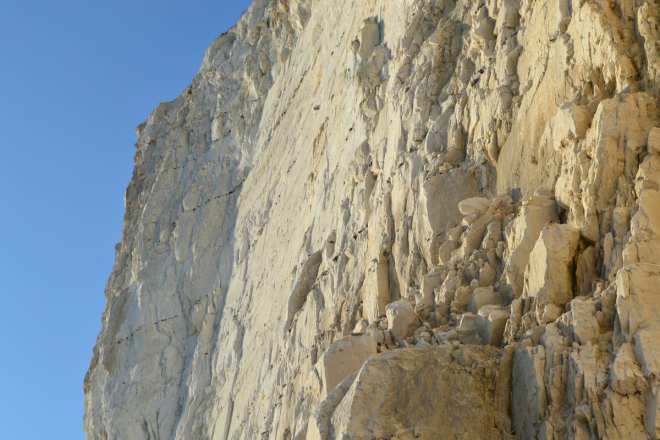
The chalk cliffs were fascinating close up 
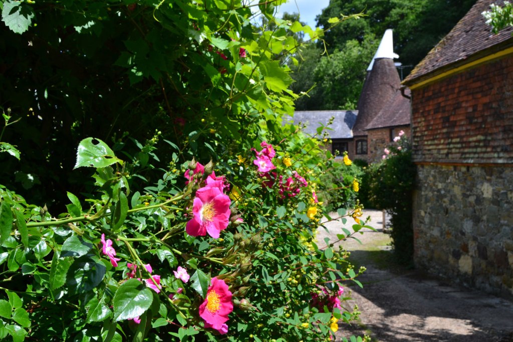
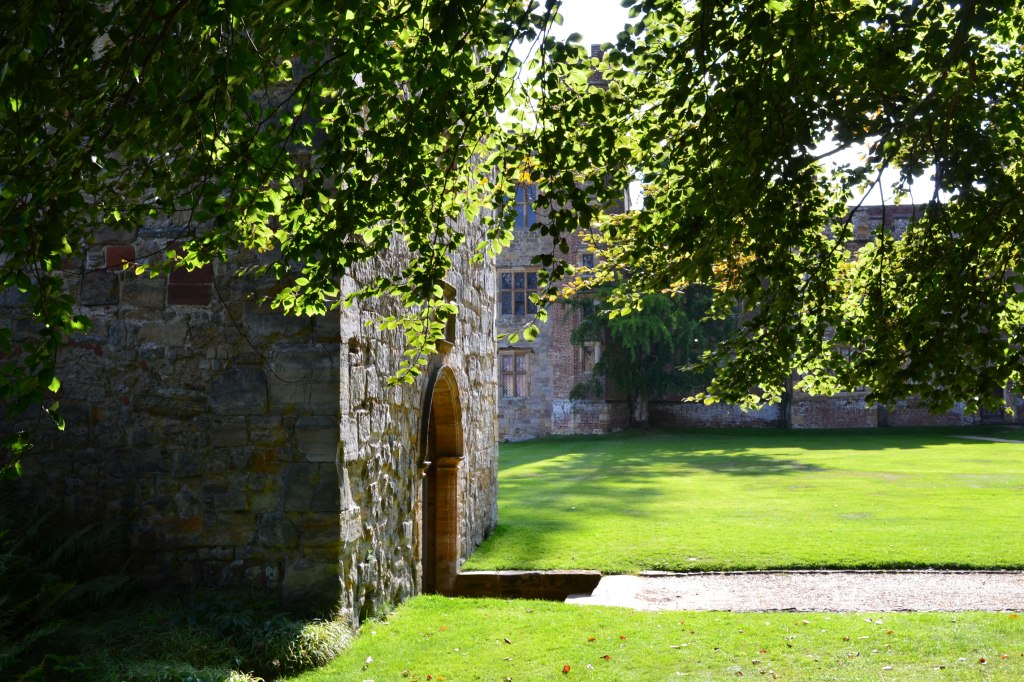
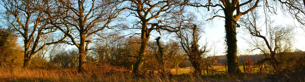
Near Chevening House 
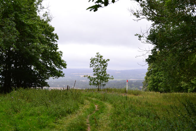
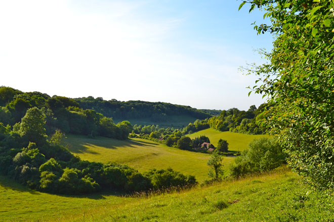
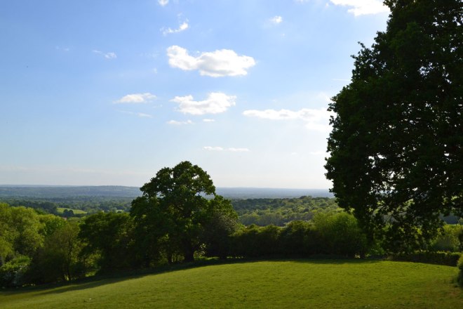
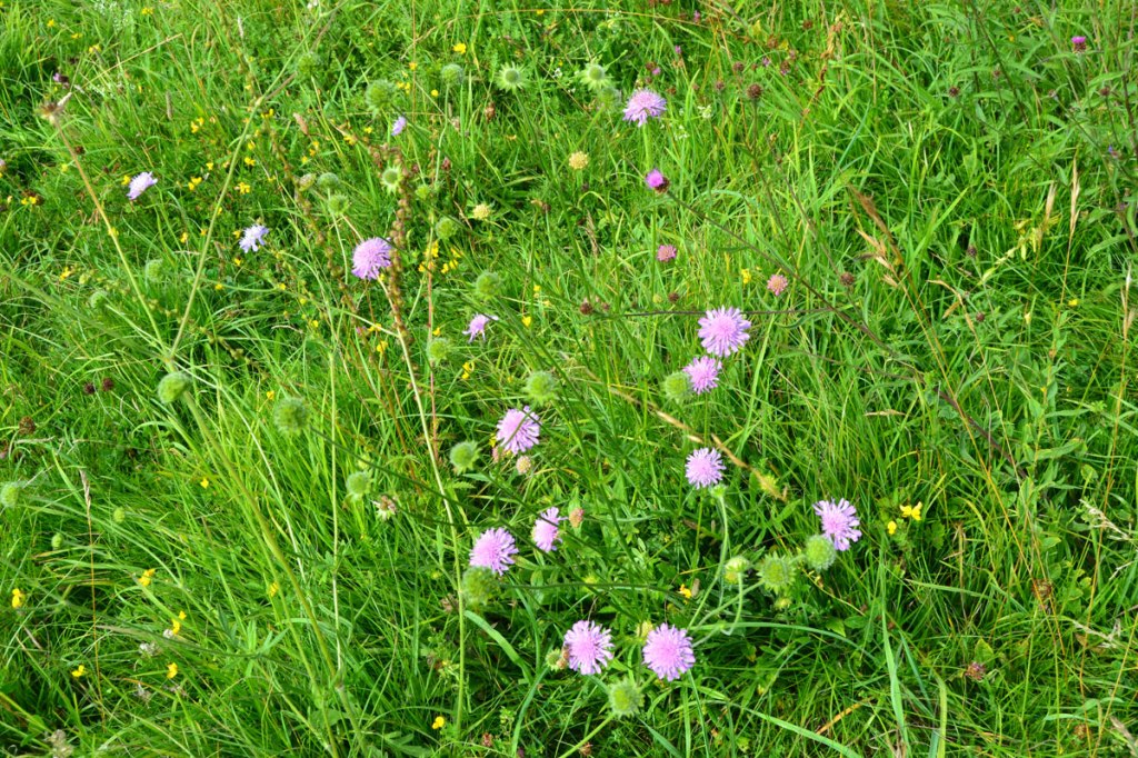
View of the Vale of Holmesdale near Chevening 
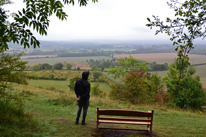
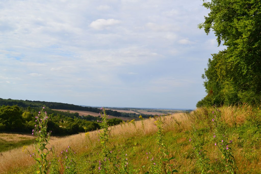
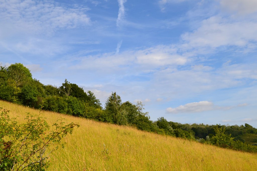
View from the top of the scarp, near Knockholt 
An egret at dusk in the Cuckmere river
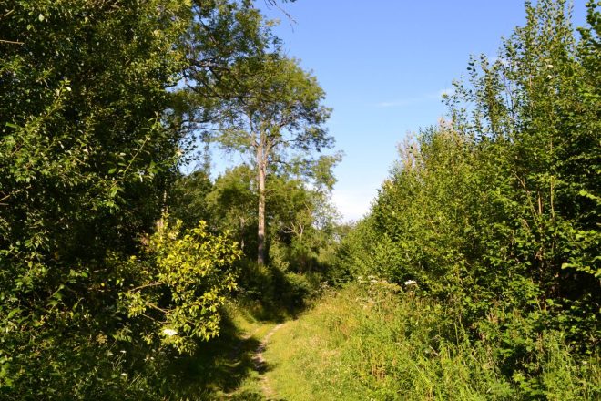
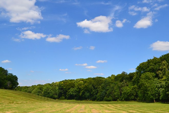
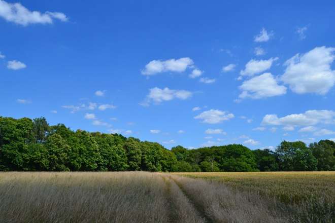
The following day it was back to the North Downs for the Knockholt / Chevening route; the first time this year I reckon. As mentioned in my previous post I was tipped off by a helpful KWNL’er that there was a useful diversion at the Point 5 which means you don’t have to walk on Sundridge Road anymore. And so there was. It was great. Very sleepy, dry, Augusty, quiet. And so few people! I missed the crowds at Birling Gap. Well, I didn’t reeeeeally; I love solitude too. Without the waves, gleaming chalk, and sea breeze, the western North Downs don’t have quite the easy allure of their southern counterparts; but for quiet, great views, glimpses of the medieval past and atmosphere they are wonderful. But so few south-east Londoners seem to quite know what’s on the doorstep – which is the point of this website I suppose.